DE
FR
IT
EN
Directory
Weather
Map / Route
Timetable
Leisure
TV guide
Cinema
Web search
Apps
More
Personal Data »
Login:
Register
Password forgotten
or
Log in with local.ch
Log in with Apple
Log in with Facebook
Log in with Google
Log in with LinkedIn
Please note that our new
privacy statement
as well as the revised
terms and conditions of use
apply.
Leisure
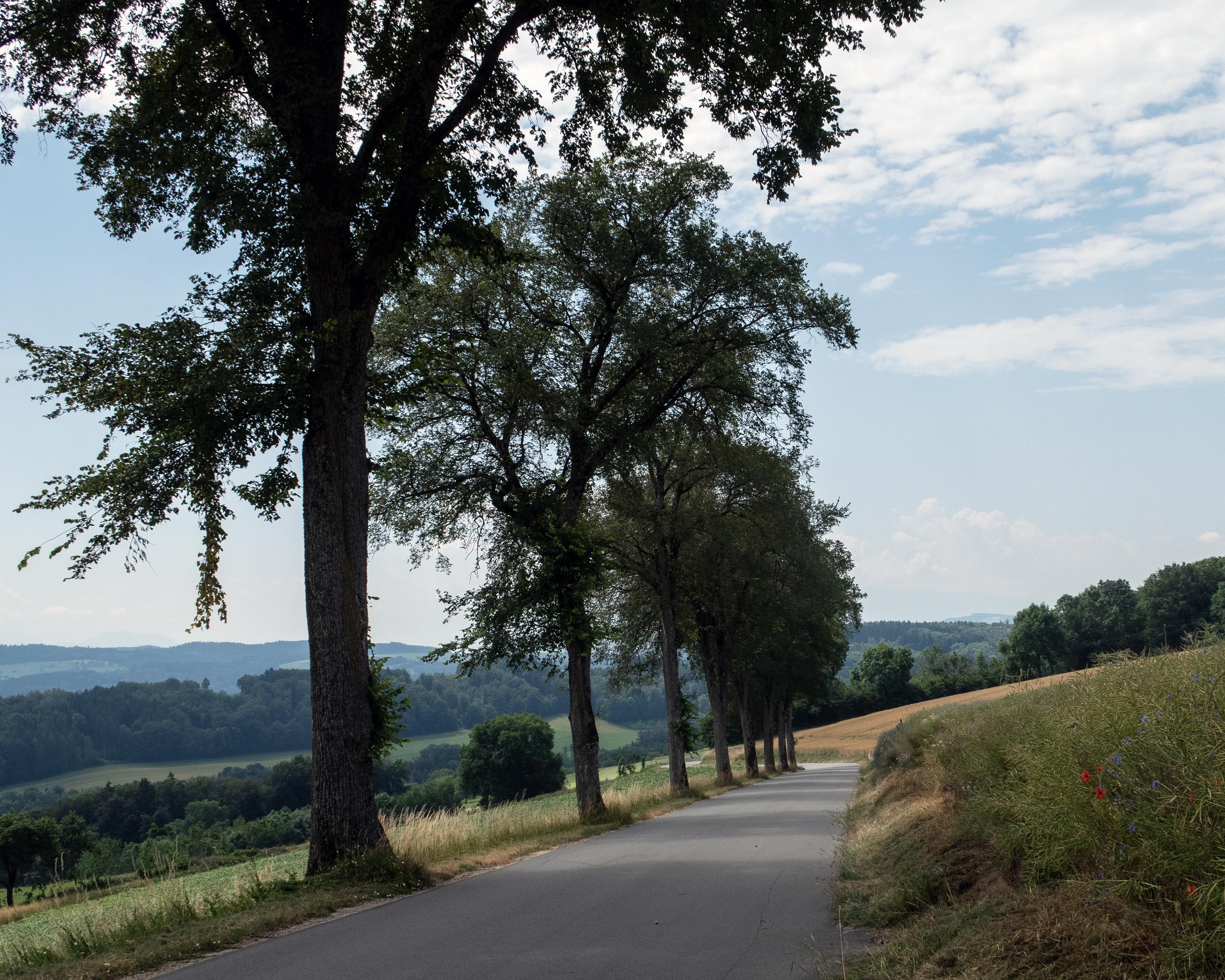
Biking in Region of Fribourg
Broye champêtre à vélo
Local route No. 472, Stage 2: Moudon – Moudon
Description
Local route
No. 472
Length
24 km
Ascent • Descent
↑ 560 m • ↓ 560 m
Lowest point • Highest point
489 m • 769 m
Fitness level
medium
This tour gives you the chance to discover the central Broye Valley and the adjacent hill country. The route leads through small mediaeval towns, lovely countryside and stretches of forest.
Booking Information
E-mail:
tourisme@moudon.ch
Comments on this information?
We welcome your feedback!
Presented by
Route
Height profile
Weather:
More...
Moudon Région Tourisme
Grand Rue 27, 1510 Moudon
Moudon Région Tourisme
Grand Rue 27, 1510 Moudon
021 905 88 66
Comments about this activity or place?
Incorrect information
Missing information
Another topic
Thank you for your feedback!
Close