DE
FR
IT
EN
Directory
Weather
Map / Route
Timetable
Leisure
TV guide
Cinema
Snow
Web search
Apps
More
Personal Data »
Login:
Register
Password forgotten
or
Log in with local.ch
Log in with Apple
Log in with Facebook
Log in with Google
Log in with LinkedIn
Please note that our new
privacy statement
as well as the revised
terms and conditions of use
apply.
Leisure
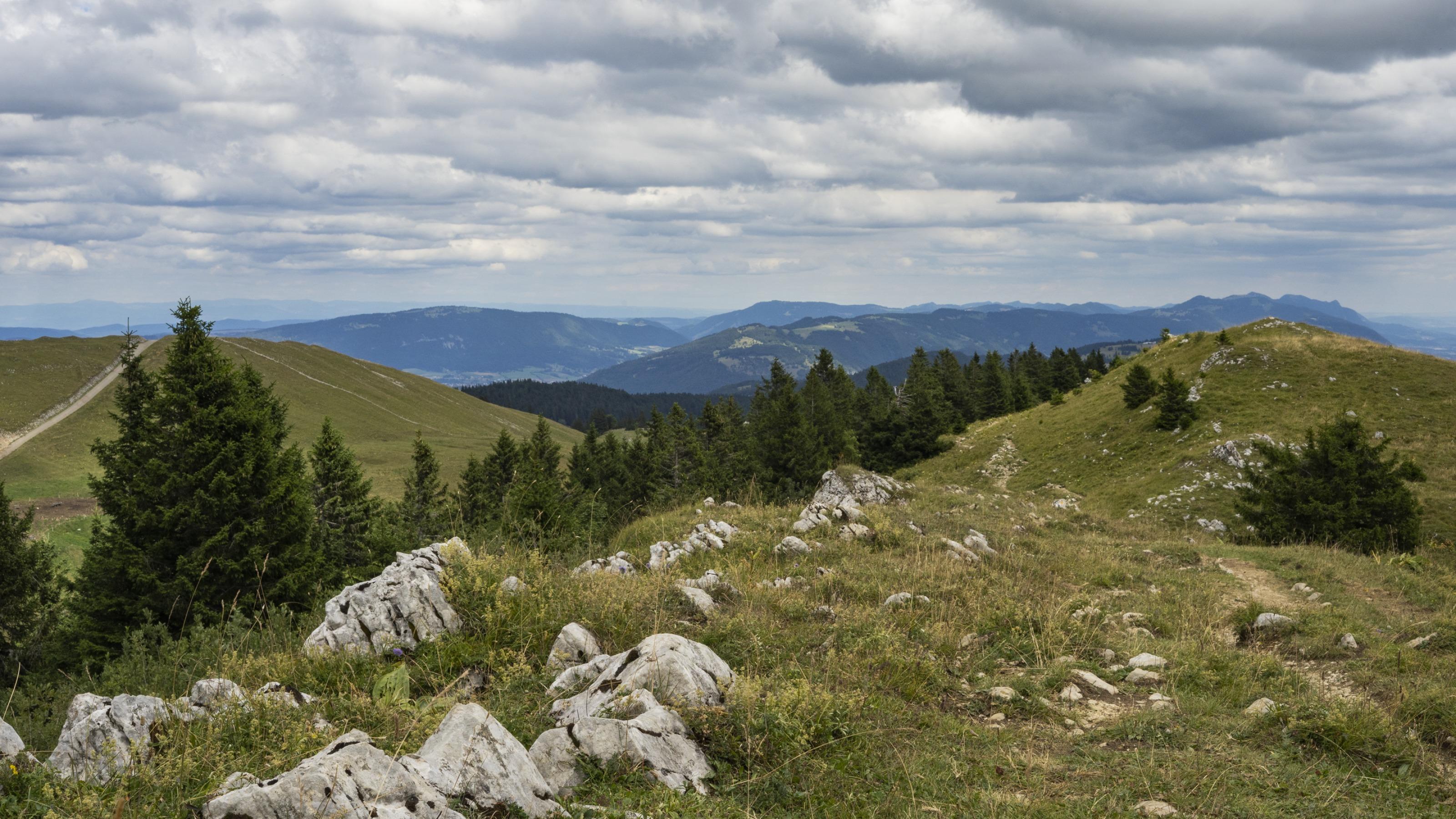
Hike in Bernese Jura (Grand Chasseral)
Jura Crest Trail, Stage 7/16
National route No. 5, Stage 7: Frinvillier – Chasseral
Description
National route
No. 5 (Dielsdorf – Nyon)
Length
17 km
Ascent • Descent
↑ 1350 m • ↓ 300 m
Lowest point • Highest point
520 m • 1604 m
Hiking time
5 h 45 min
Grade
easy
Fitness level
difficult
National route No. 5:
Jura Crest Trail
Stages
0. Brugg AG – Staffelegg
0. St-Cergue – Nyon
0. Staffelegg – Hauenstein
0. Chasseral – Vue des Alpes
0. Hauenstein – Balsthal
0. Col du Marchairuz – St-Cergue
0. Weissenstein – Frinvillier
0. Ste-Croix – Ballaigues
0. Balsthal – Weissenstein
0. Vue des Alpes – Noiraigue
0. Noiraigue – Les Rochats
0. Ballaigues – Le Pont
0. Les Rochats – Ste-Croix
0. Le Pont – Col du Marchairuz
0. Frinvillier – Chasseral
0. Dielsdorf – Brugg
From the low-lying Schüss Valley to the crest of the Bernese Jura. An almost constant, yet comfortable climb to scale the Chasseral, already seen from afar. Sensational panoramic view with the Mittelland lakes: a feast for the eyes.
Comments on this information?
We welcome your feedback!
Presented by
Route
Height profile
Weather:
More...
Comments about this activity or place?
Incorrect information
Missing information
Another topic
Thank you for your feedback!
Close