DE
FR
IT
EN
Directory
Weather
Map / Route
Timetable
Leisure
TV guide
Cinema
Web search
Apps
More
Personal Data »
Login:
Register
Password forgotten
or
Log in with local.ch
Log in with Apple
Log in with Facebook
Log in with Google
Log in with LinkedIn
Please note that our new
privacy statement
as well as the revised
terms and conditions of use
apply.
Leisure
Hike in Kerns
ViaJacobi
National route No. 4, Stans–Flüeli-Ranft
Description
National route
No. 4 (Stans–Flüeli-Ranft)
Length
17 km
Ascent • Descent
↑ 740 m • ↓ 480 m
Lowest point • Highest point
458 m • 832 m
Hiking time
5 h
Grade
easy (hiking trail)
Fitness level
medium
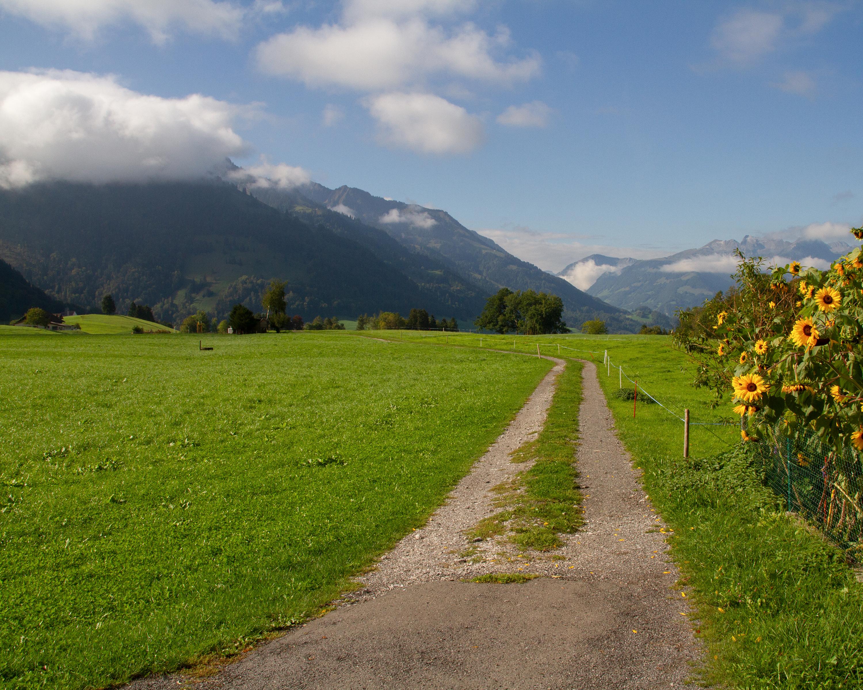
After the initial ascent to Stans, impressive panoramic views open up over Stanser Boden, Lake Lucerne and the peaks of Central Switzerland. The stage's highlight at the end is the hermitage of Niklaus von Flüe with the Ranft chapels.
Comments on this information?
We welcome your feedback!
Presented by
Route
Height profile
Weather:
More...
Comments about this activity or place?
Incorrect information
Missing information
Another topic
Thank you for your feedback!
Close