search.ch

Chemin des villages d’Evolène

Local route No. 214, Evolène–Evolène
  • Image 1

Description

Local route
No. 214 (Evolène–Evolène)
Length
11 km
Ascent • Descent
↑ 520 m • ↓ 520 m
Lowest point • Highest point
1342 m • 1730 m
Hiking time
3 h 25 min
Grade
medium (mountain hiking trail)
Fitness level
medium
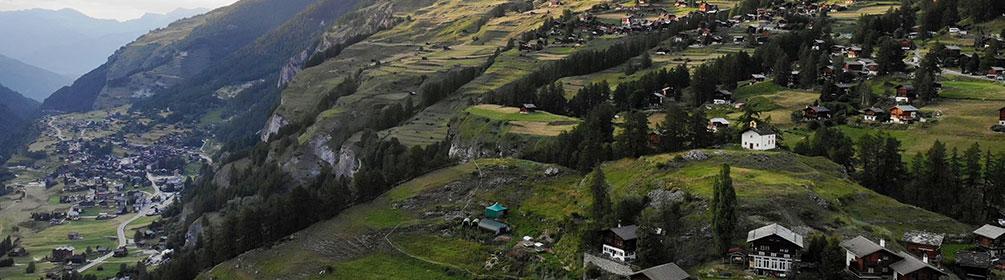
Initially along the Borgnes river, then up into the villages high on the cliffs. Typical homes, barns and chapels are found around Evolène in a protected landscape with views across the mountains and the untamed Val d’Hérens. And finally, a section of the trail with paintings and poetry.

Booking Information

Height profile

Weather:

Evolène Région Tourisme

Comments about this activity or place?

Thank you for your feedback!