DE
FR
IT
EN
Directory
Weather
Map / Route
Timetable
Leisure
TV guide
Cinema
Snow
Web search
Apps
More
Personal Data »
Login:
Register
Password forgotten
or
Log in with local.ch
Log in with Apple
Log in with Facebook
Log in with Google
Log in with LinkedIn
Please note that our new
privacy statement
as well as the revised
terms and conditions of use
apply.
Leisure
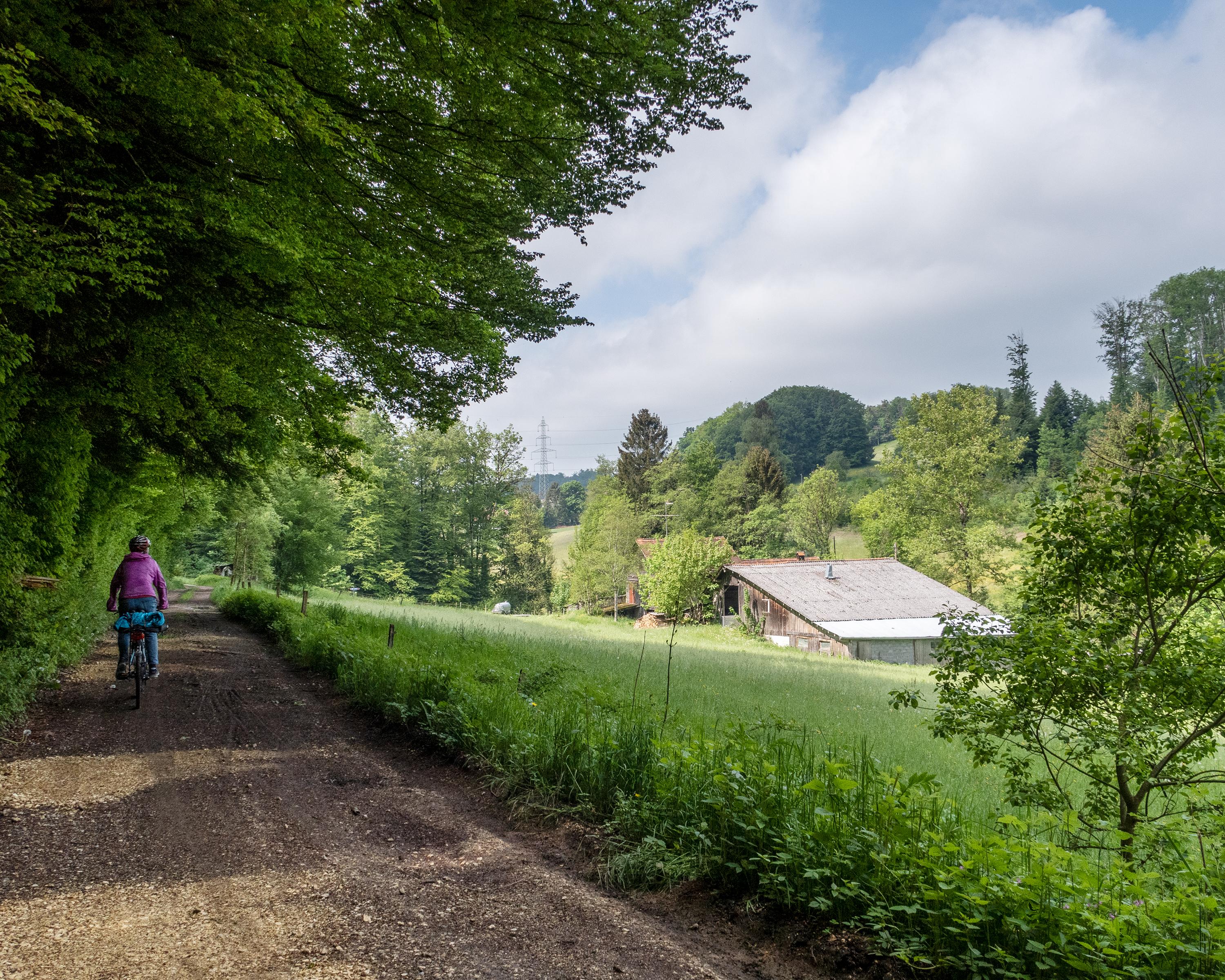
Biking in Lavaux, Vineyard Terraces
Tour du Mont Pélerin
Local route No. 478, Stage 8: Chexbres – Chexbres
Description
Local route
No. 478
Length
30 km
Ascent • Descent
↑ 680 m • ↓ 680 m
Lowest point • Highest point
579 m • 851 m
Fitness level
medium
Atypical bike itinerary on which you will behold the Lavaux terraced vineyards and the more hilly countryside just inland. Interesting discovery of small roads leading through fields and forests.
Booking Information
E-mail:
info@montreuxriviera.com
Comments on this information?
We welcome your feedback!
Presented by
Route
Height profile
Weather:
More...
Montreux-Vevey Tourisme
Rue du Théâtre 5, 1820 Montreux
Montreux-Vevey Tourisme
Rue du Théâtre 5, 1820 Montreux
0848 868 484
Comments about this activity or place?
Incorrect information
Missing information
Another topic
Thank you for your feedback!
Close