search.ch

Alpine Bike, Stage 4/16

National route No. 1, Stage 4: St. Moritz – Bivio
  • Image 1

Description

National route
No. 1 (Scuol – Leysin)
Length
39 km
Ascent • Descent
↑ 1750 m • ↓ 1750 m
Lowest point • Highest point
1521 m • 2311 m
Grade
difficult
Fitness level
difficult
National route No. 1: Alpine Bike
Stages
0. Bivio – Tiefencastel
0. Andermatt – Meiringen
0. Grindelwald – Interlaken
0. Scuol – Tschierv
0. Adelboden – Zweisimmen
0. Interlaken – Adelboden
0. Meiringen – Grindelwald
0. Château-d'Oex – Leysin
0. Tiefencastel – Safien Platz
0. Safien Platz – Lumbrein
0. Disentis – Andermatt
0. Zweisimmen – Château-d'Oex
0. Lumbrein – Disentis
0. Livigno (I) – St. Moritz
0. Tschierv – Livigno (I)
0. St. Moritz – Bivio
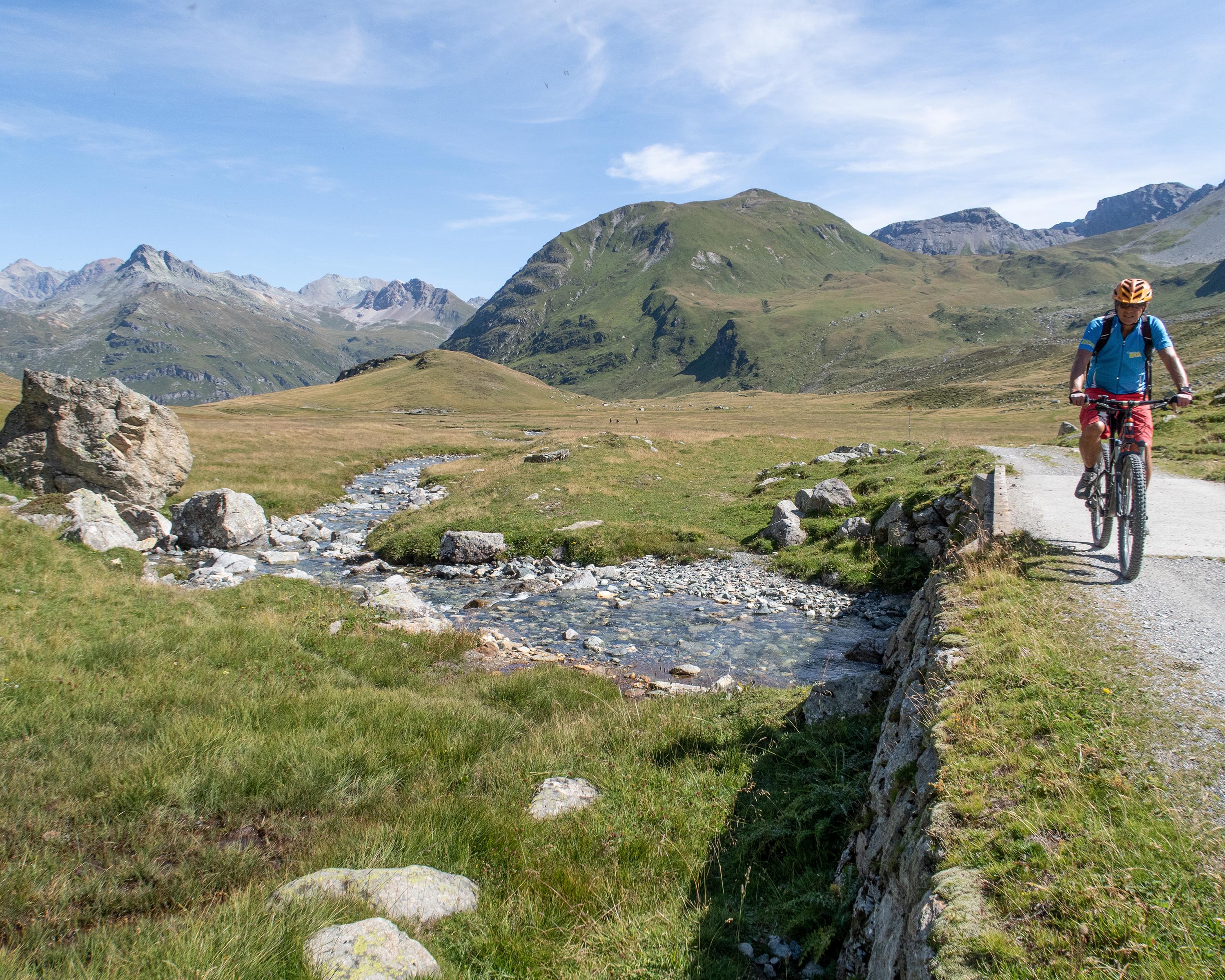
Scenic unsurfaced trails wind through the forests above the three Upper Engadine lakes. Gravel roads and a few short trails alternate, with plenty of views across the lakes and the mountains. The old mule trail over the Septimer Pass requires even professionals to give their all. There’s no avoiding carrying passages.

Height profile

Weather:

Comments about this activity or place?

Thank you for your feedback!