search.ch

Unterwalden-Route

Regional route No. 85, Stans–Engelberg
  • Image 1

Description

Regional route
No. 85 (Stans–Engelberg)
Length
22 km
Ascent • Descent
↑ 600 m • ↓ 60 m
Lowest point • Highest point
452 m • 1002 m
Fitness level
medium
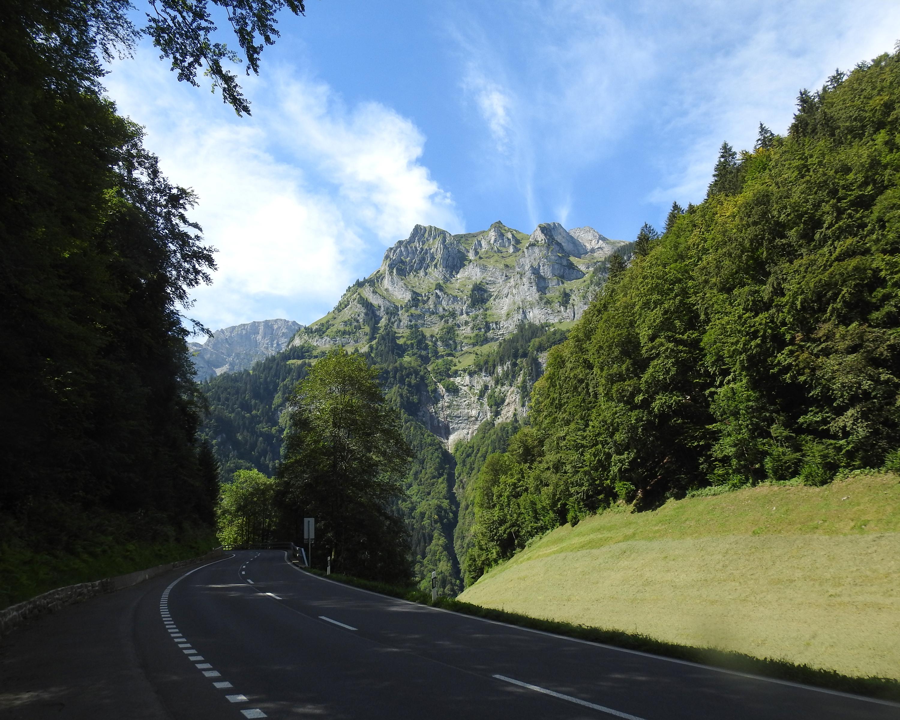
The second stage along the Unterwalden route begins in Stans and passes through the idyllic landscape of the Engelbergertal valley complete with its historic Hechhuis. It culminates in a steep and strenuous climb up to Lake Eugeni just before the village of Engelberg with its famous abbey.

Height profile

Weather:

Comments about this activity or place?

Thank you for your feedback!