DE
FR
IT
EN
Directory
Weather
Map / Route
Timetable
Leisure
TV guide
Cinema
Web search
Apps
More
Personal Data »
Login:
Register
Password forgotten
or
Log in with local.ch
Log in with Apple
Log in with Facebook
Log in with Google
Log in with LinkedIn
Please note that our new
privacy statement
as well as the revised
terms and conditions of use
apply.
Leisure
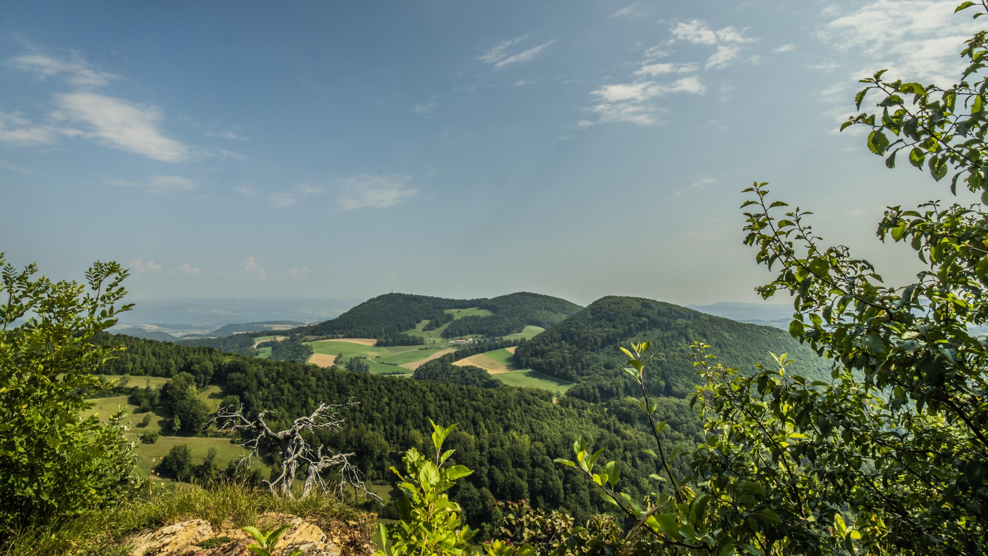
Hike in Aargau – Solothurn region
Jura Crest Trail
National route No. 5, Staffelegg–Hauenstein
Description
National route
No. 5 (Staffelegg–Hauenstein)
Length
20 km
Ascent • Descent
↑ 900 m • ↓ 860 m
Lowest point • Highest point
611 m • 963 m
Hiking time
6 h
Grade
easy (hiking trail)
Fitness level
difficult
Get to know five passes: Staffelegg, Bänkerjoch, Salhöhe, Schafmatt and lastly the Untere Hauenstein. In between, lots of woodland, many pastures and the rugged Geissfluh vantage point on the border of Baselland.
Comments on this information?
We welcome your feedback!
Presented by
Route
Height profile
Weather:
More...
Comments about this activity or place?
Incorrect information
Missing information
Another topic
Thank you for your feedback!
Close