Local route No. 270, Stage 0: Moléson-sur-Gruyères, Plan Francey – Le Moléson, station supérieure du téléphérique
Description
Local route
No. 270
Length
8 km
Ascent • Descent
↑ 720 m • ↓ 240 m
Lowest point • Highest point
1397 m • 2002 m
Hiking time
3 h
Grade
medium
Fitness level
medium
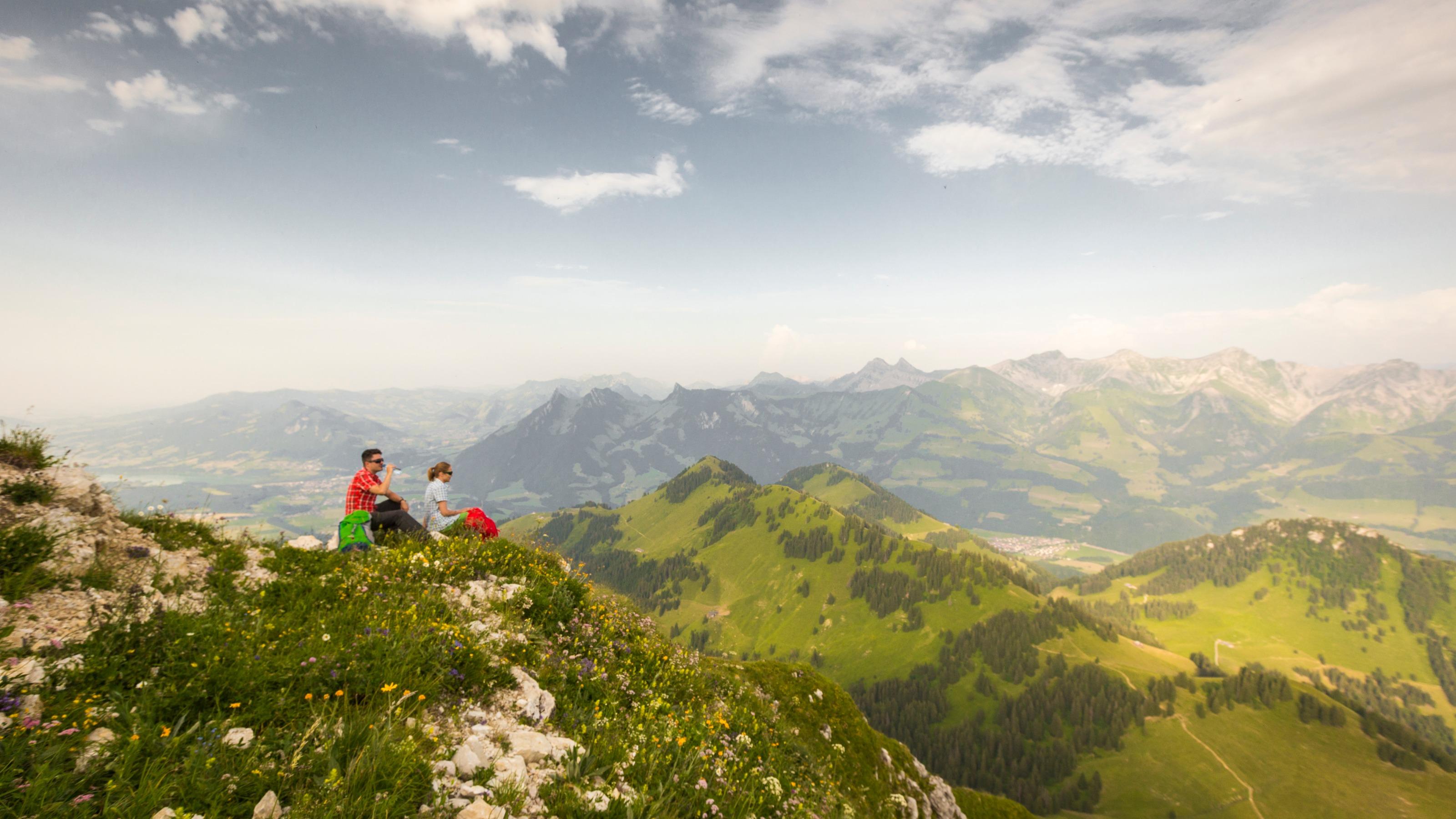
A different way of climbing the summit of the Moléson, this walk passes through the mountain pastures typical of Fribourg’s cultural landscape. It offers a fine opportunity for walkers to admire the centuries-old work of the «armaillis».