search.ch

Mythenweg

Local route No. 829, Rotenflue–Rotenflue
  • Image 1

Description

Local route
No. 829 (Rotenflue–Rotenflue)
Length
6 km
Ascent • Descent
↑ 660 m • ↓ 660 m
Lowest point • Highest point
1403 m • 1890 m
Hiking time
3 h
Grade
medium (mountain hiking trail)
Fitness level
medium
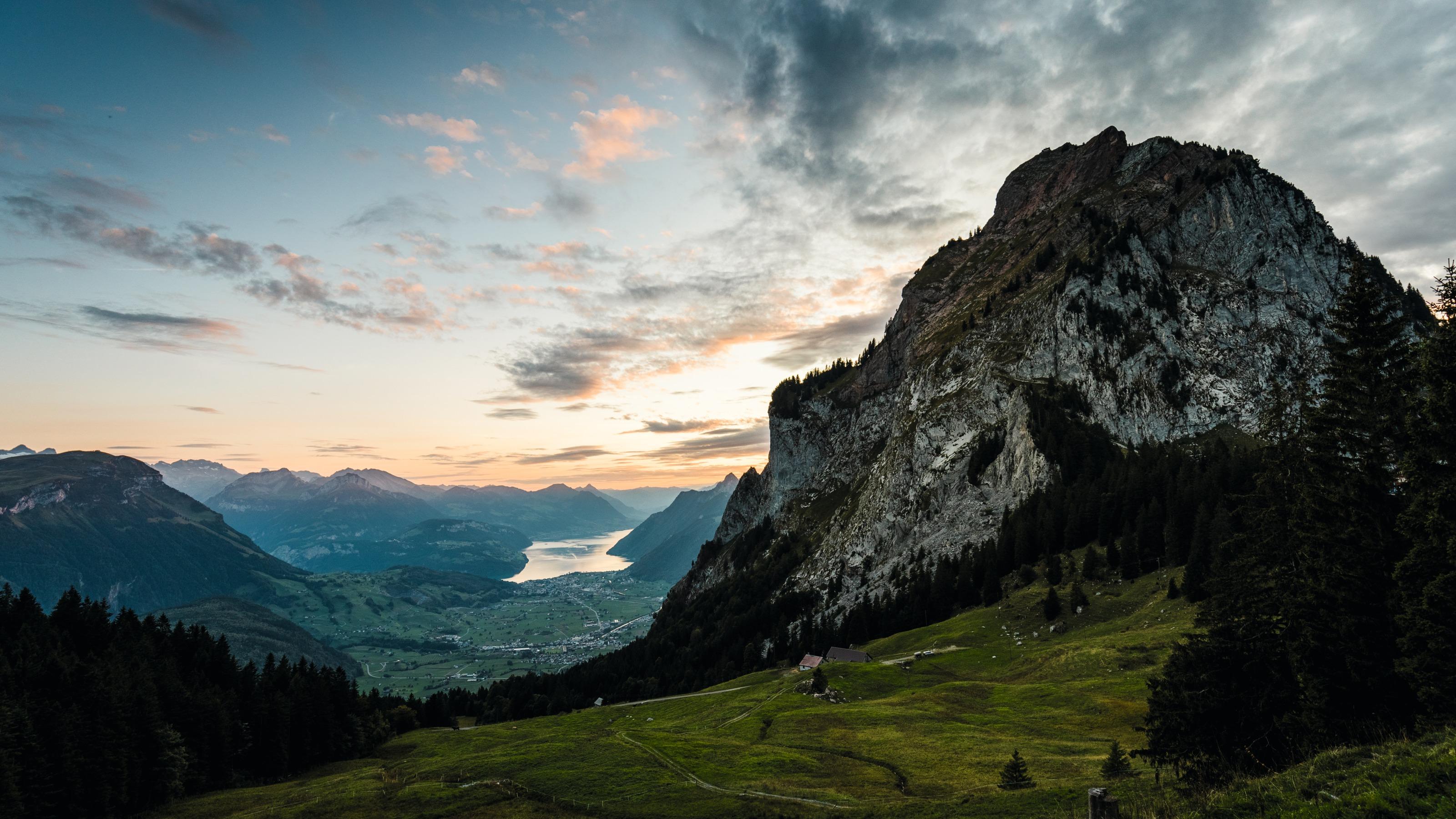
Situated in the heart of Switzerland, Gross Mythen is reigning majestically above the village Schwyz. After a leisurely start from the top station Rotenflue the summit is reached by steep zigzags. The views from the top are ranging from the Alps to the base of Schwyz Valley, the lakes of Central Switzerland and across the Mittelland region.

Booking Information

Height profile

Weather:

Comments about this activity or place?

Thank you for your feedback!