search.ch

Chemin du vignoble

Regional route No. 36, Martigny–Saillon
  • Image 1

Description

Regional route
No. 36 (Martigny–Saillon)
Length
12 km
Ascent • Descent
↑ 460 m • ↓ 420 m
Lowest point • Highest point
461 m • 624 m
Hiking time
3 h 30 min
Grade
easy (hiking trail)
Fitness level
medium
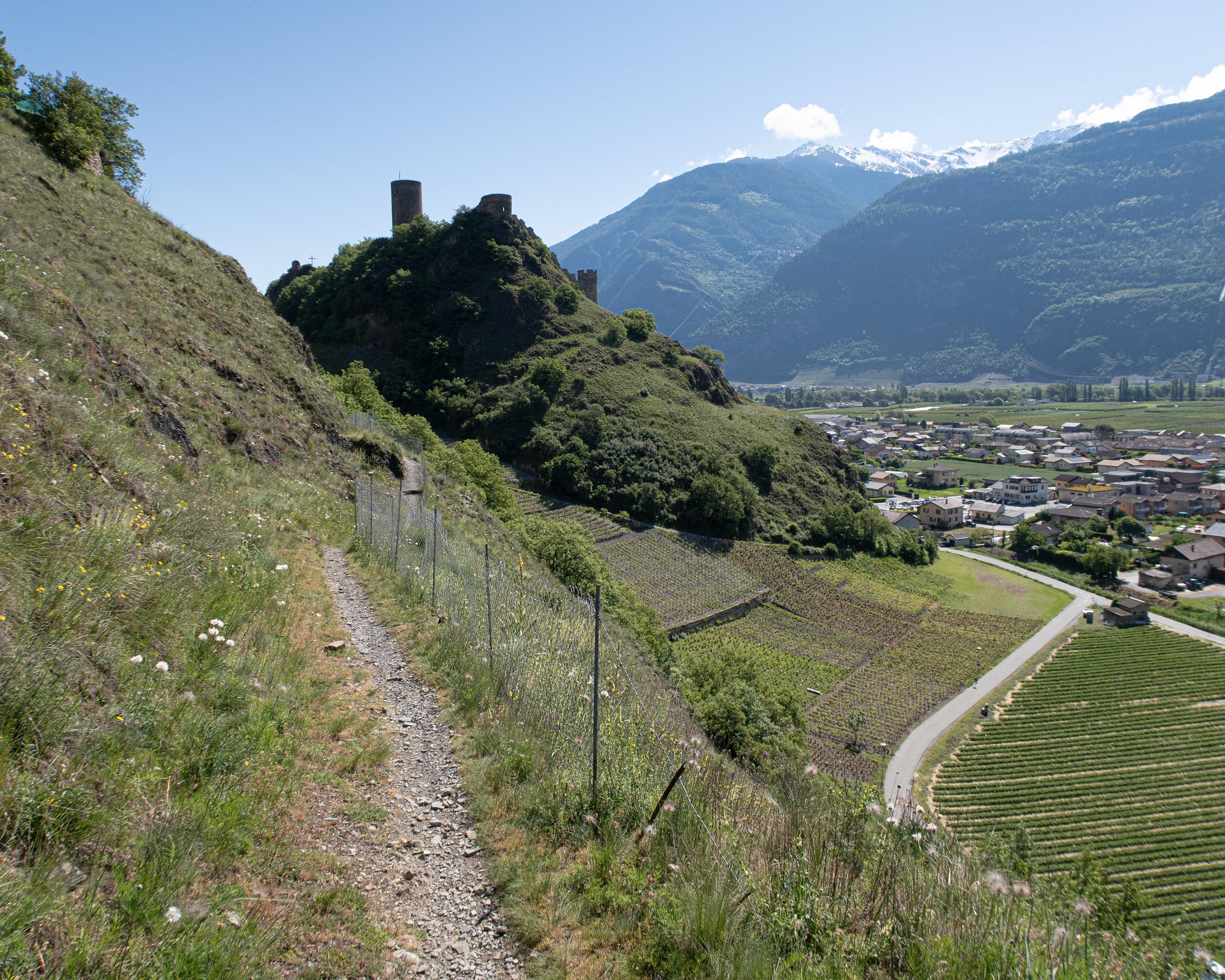
Between Saillon and Martigny you’re in the land of Gamay wine and fascinating contrasts: at your feet the completely cultivated Rhonetal valley, in the distance the glistening snow fields of Mont Blanc. Fully is the capital of the Petite Arvine grape.

Height profile

Weather:

Comments about this activity or place?

Thank you for your feedback!