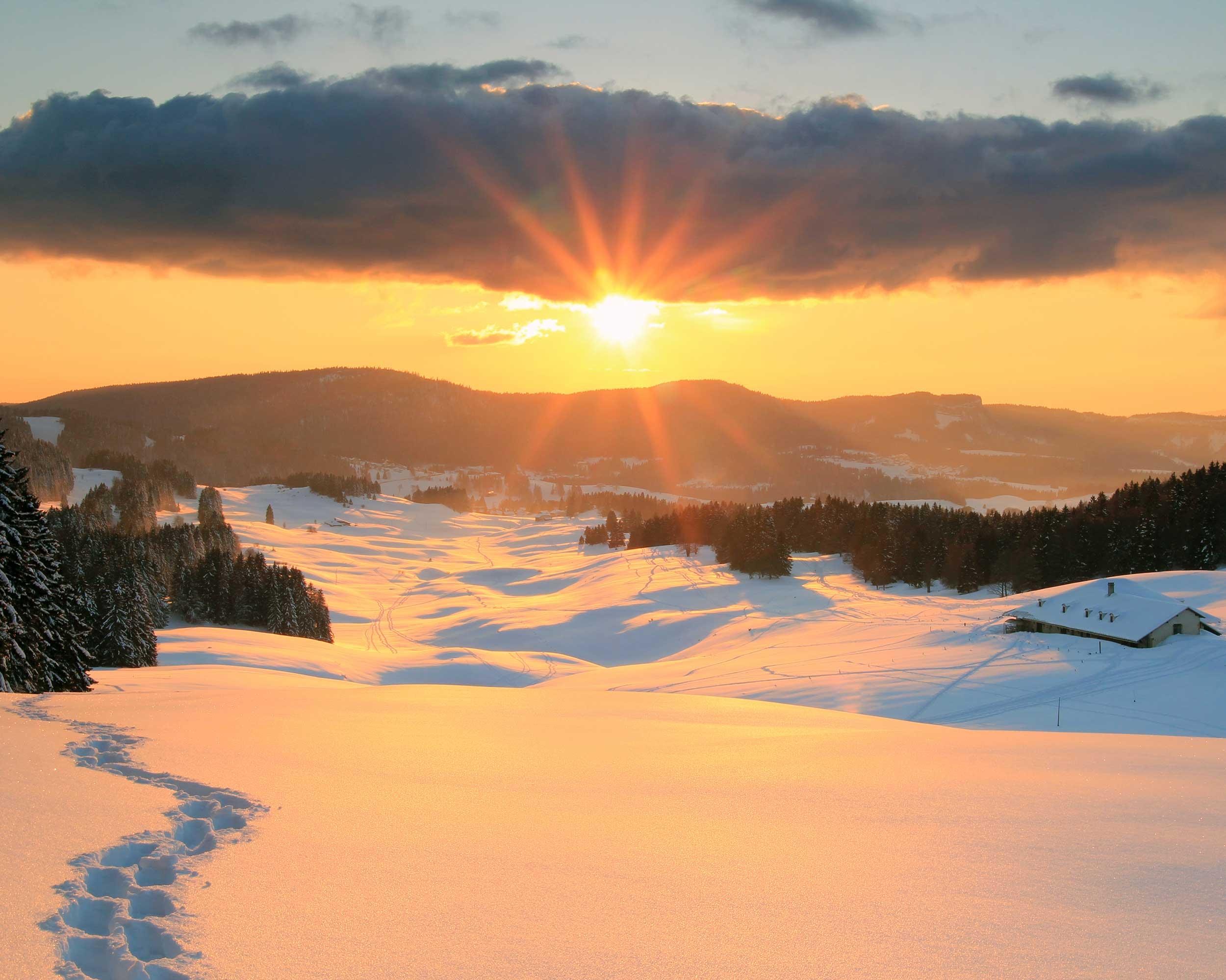
Local route No. 472, Stage 2: La Givrine – La Cure
Description
Local route
No. 472
Length
7 km
Ascent • Descent
↑ 220 m • ↓ 280 m
Lowest point • Highest point
1154 m • 1393 m
Hiking time
2 h 45 min
Fitness level
medium
This snowshoe trail between the Col de la Givrine and La Cure, a small village on the border with France, takes you through a tranquil landscape of pastures and forests with spectacular views of the Alpine mountain range.