Local route No. 257, Stage 7: Station Versam-Safien – Station Versam-Safien
Description
Local route
No. 257
Length
24 km
Ascent • Descent
↑ 1050 m • ↓ 1050 m
Lowest point • Highest point
635 m • 1580 m
Grade
easy
Fitness level
medium
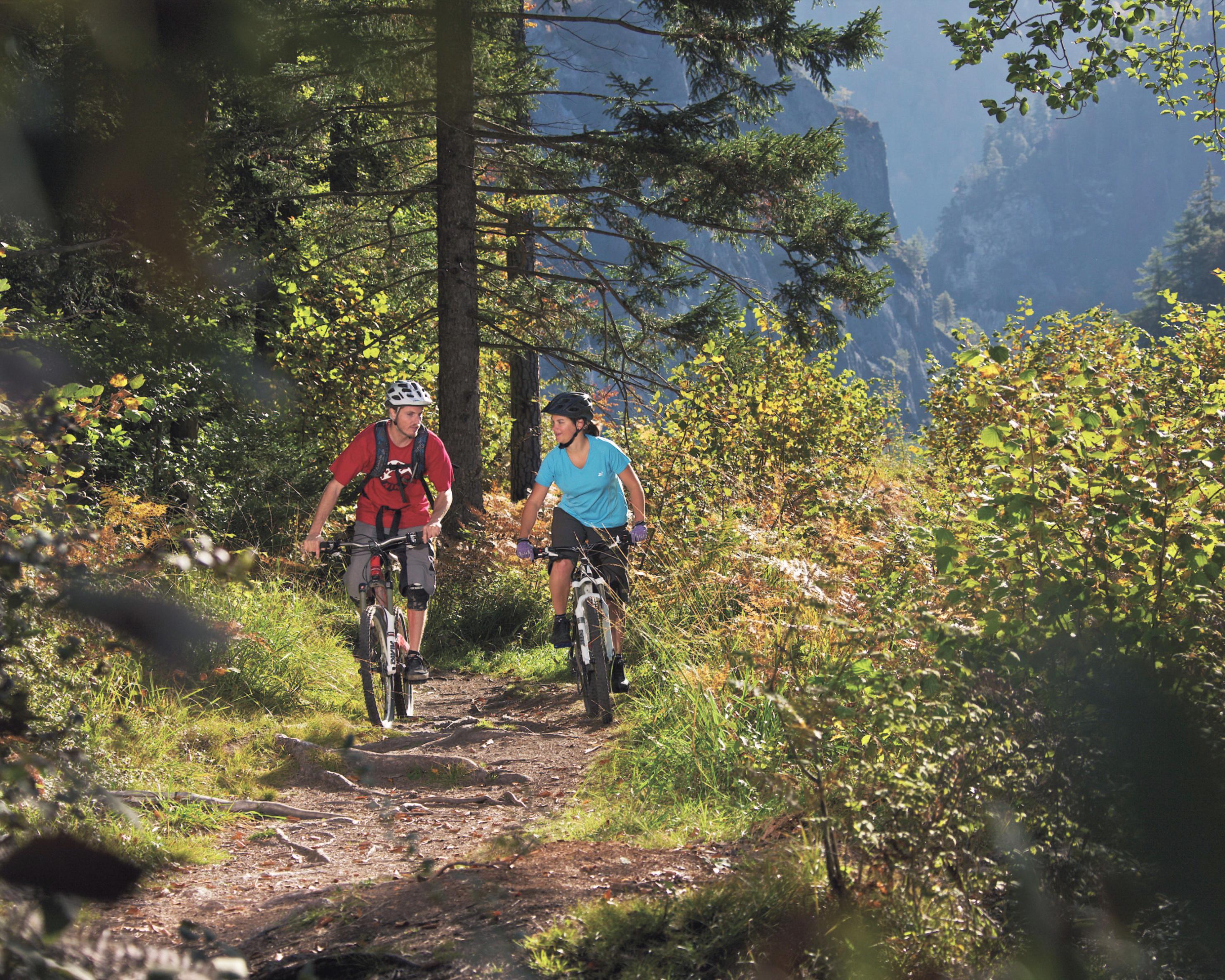
Varied circular tour south of the Rhine with a view of the Sardona UNESCO World Heritage Site, Flimserstein, Rhine Gorge and Safien Valley. Start and finish is at the Versam observation platform.