search.ch

Klettgau-Rhein-Weg

Regional route No. 34, Hallau–Schaffhausen
  • Image 1

Description

Regional route
No. 34 (Hallau–Schaffhausen)
Length
46 km
Ascent • Descent
↑ 1450 m • ↓ 1450 m
Lowest point • Highest point
399 m • 889 m
Grade
easy (hiking trail)
Fitness level
difficult
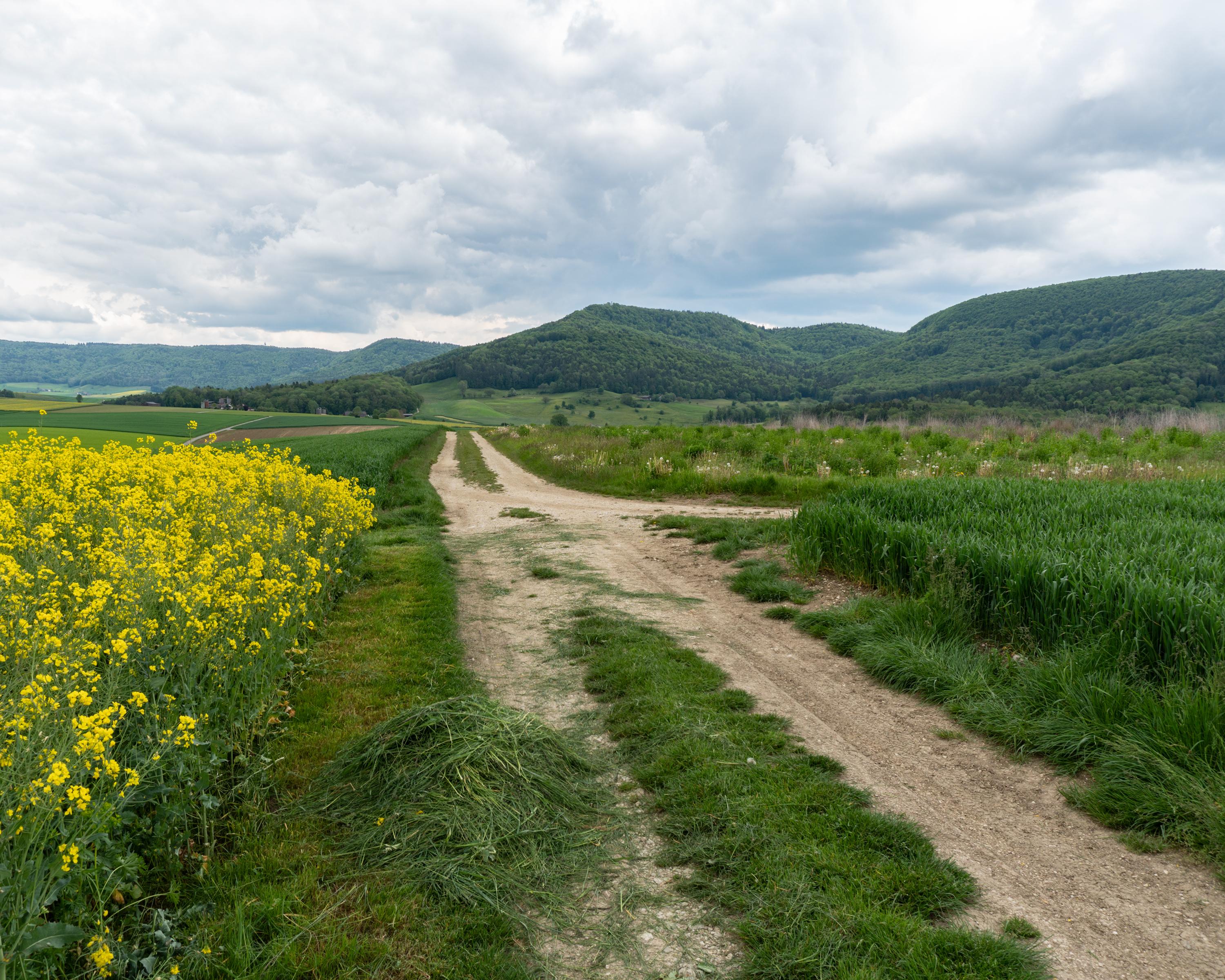
From the Hallau wine region, the route leads through the extensive forests of the Randen hill chain, over the old high-level trail to Schaffhausen. On the way: superb views from towers on the Randen and from the elevated villages of Büttenhardt and Lohn.

Height profile

Weather:

Comments about this activity or place?

Thank you for your feedback!