search.ch

Berner Oberland-Route

Regional route No. 61, Thun (Steffisburg)–Interlaken
  • Image 1

Description

Regional route
No. 61 (Thun (Steffisburg)–Interlaken)
Length
45 km
Ascent • Descent
↑ 1200 m • ↓ 1150 m
Lowest point • Highest point
561 m • 1225 m
Fitness level
difficult
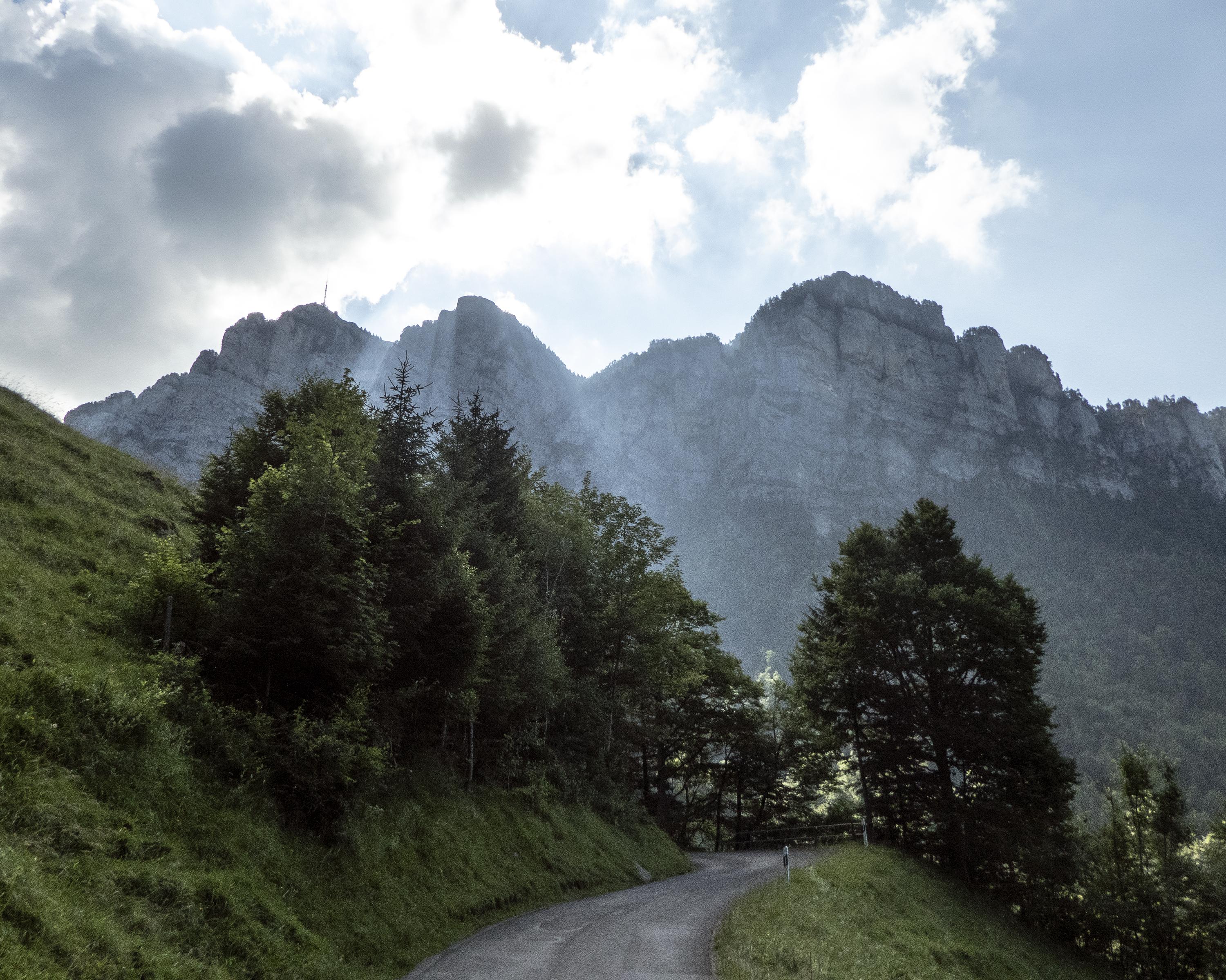
Panoramic section with overwhelming views of the Thunersee and 4000m summits. Up and down through fields of flowers, Justistal peaceful and almost Alpine. Along the sun terrace of Beatenberg down to Unterseen, bordering on the Alpine tourism town of Interlaken.

Height profile

Weather:

Comments about this activity or place?

Thank you for your feedback!