DE
FR
IT
EN
Directory
Weather
Map / Route
Timetable
Leisure
TV guide
Cinema
Web search
Apps
More
Personal Data »
Login:
Register
Password forgotten
or
Log in with local.ch
Log in with Apple
Log in with Facebook
Log in with Google
Log in with LinkedIn
Please note that our new
privacy statement
as well as the revised
terms and conditions of use
apply.
Leisure
Hike in Lac de Joux
Au sommet du Jura
Local route No. 130, Le Sentier–Montricher
Description
Local route
No. 130 (Le Sentier–Montricher)
Length
16 km
Ascent • Descent
↑ 740 m • ↓ 1000 m
Lowest point • Highest point
743 m • 1679 m
Hiking time
5 h
Grade
easy (hiking trail)
Fitness level
difficult
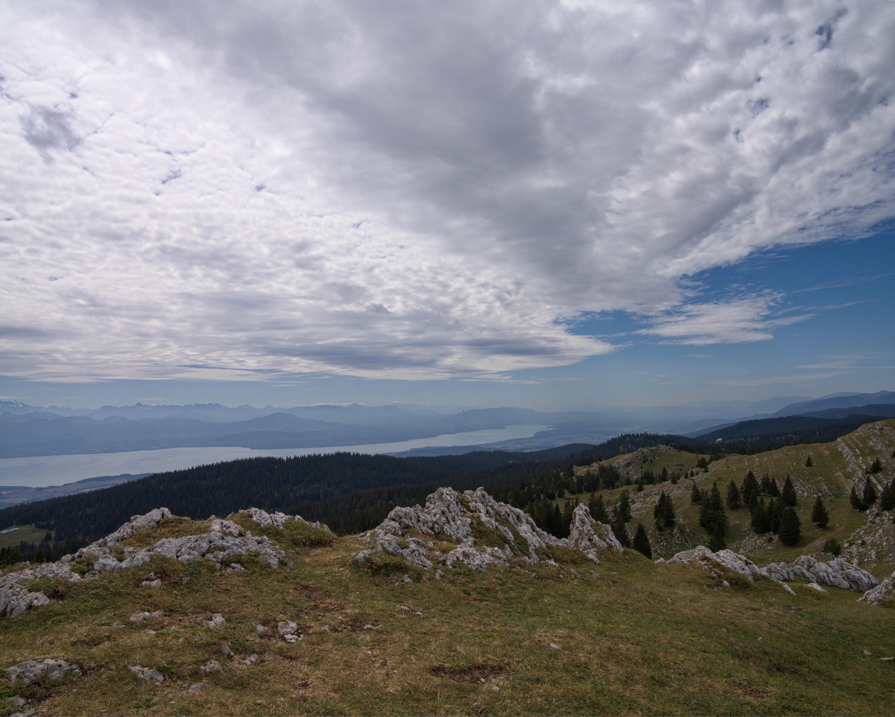
The trail starting from the Joux valley at the foot of the Jura, leads through the regional Jura Vaudois Nature Park to the highest summit of the Swiss Jura, Mont Tendre (1,679m), with a magnificent view of the Alps and the Lake of Geneva.
Booking Information
E-mail:
info@parcjuravaudois.ch
Comments on this information?
We welcome your feedback!
Presented by
Route
Height profile
Weather:
More...
Parc naturel régional Jura vaudois
Route du Marchairuz 2 - CP33, 1188 St-George
Parc naturel régional Jura vaudois
Route du Marchairuz 2 - CP33, 1188 St-George
022 366 51 70
Comments about this activity or place?
Incorrect information
Missing information
Another topic
Thank you for your feedback!
Close