Accessible route No. 259, Stage 9: Verbier, Croix des Ruinettes – Verbier, Croix des Ruinettes
Description
Accessible route
No. 259
Length
2 km
Ascent • Descent
↑ 80 m • ↓ 10 m
Lowest point • Highest point
2190 m • 2265 m
Hiking time
35 min
Grade
difficult
Fitness level
easy
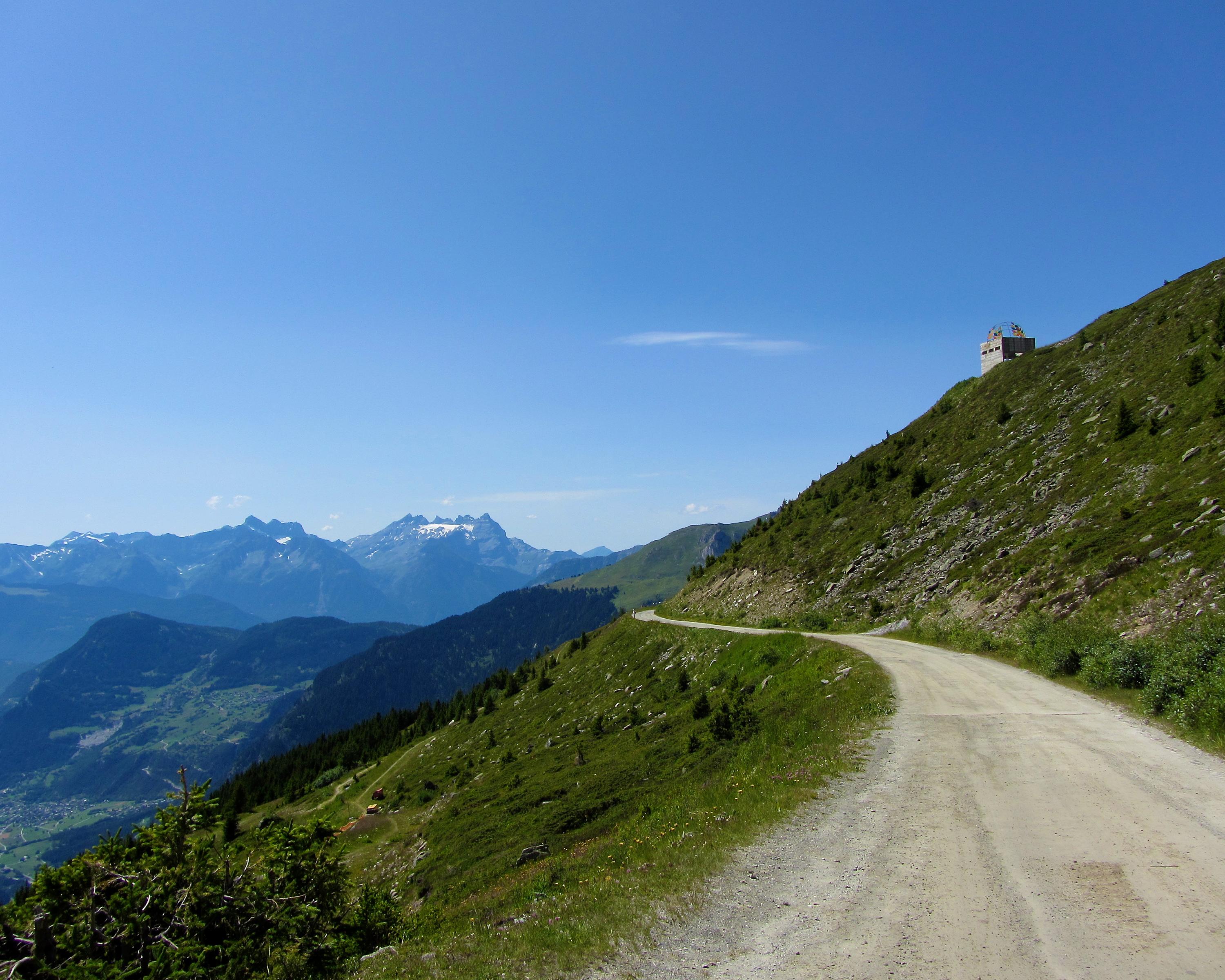
Spectacular panoramic views of the Valais Alps await the visitor on the Chemin des Ruinettes path above Verbier. Take the aerial gondola to the Croix-des-Ruinettes top station, where this breath-taking tour begins and ends.