search.ch

Chemin du Jura

Regional route No. 31, Delémont–Saignelégier
  • Image 1

Description

Regional route
No. 31 (Delémont–Saignelégier)
Length
93 km
Ascent • Descent
↑ 3200 m • ↓ 2600 m
Lowest point • Highest point
412 m • 1029 m
Grade
easy (hiking trail)
Fitness level
difficult
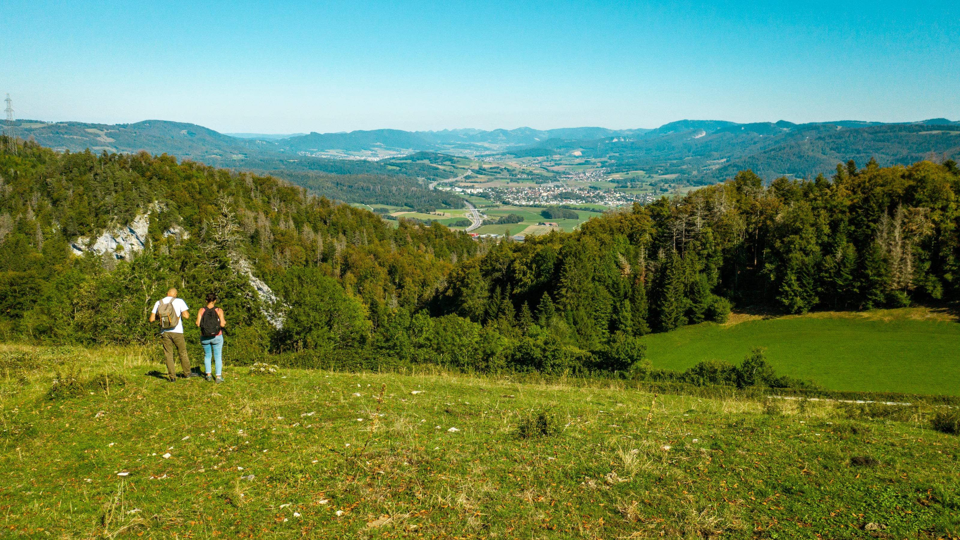
The walk from Delémont is a tour through the Canton Jura and its attractive scenery, from the heights of the Delémont Valley via the Ajoie region and the Doubs Valley, through the Combe Tabeillon nature preserve and to the Freiberge Mountain plateau with lovely, historic towns such as Porrentruy and St-Ursanne.

Height profile

Weather:

Comments about this activity or place?

Thank you for your feedback!