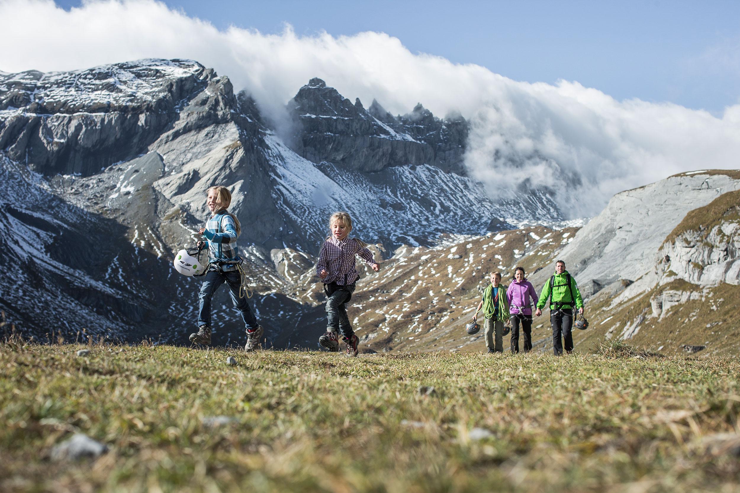
Local route No. 764, Stage 4: Nagens Sura (Bergstation FlemXpress) – Flims
Description
Local route
No. 764
Length
14 km
Ascent • Descent
↑ 320 m • ↓ 1400 m
Lowest point • Highest point
1077 m • 2236 m
Hiking time
4 h 15 min
Grade
medium
Fitness level
difficult
From the UNESCO World Heritage site of Sardona the new Trutg dil Flem trail follows the Flem stream from Segnesboden, past bizarre rock formations and breathtaking gorges through Europe's largest landslide to Flims.

..Flims&freizeit=1&noweather=1&width=400&height=200&x_axis_display=distance&polyline=ao%7Ek%40ibvJogC%3FfC%7DAO%7BG%5DwEYqGYyFGgHbBeC%5DyFfCoEWuGoAqEFqGhB%7DF%5CyG%3FcC%60%40eGPaGRuGd%40wAf%40qGtDsCz%40uGXoFb%40sGI%7DFp%40yGvCeEEkG%7ECsDAmGzDwDAuGvAyFB_H%7CCiEGaG%7EAiFKuG_CaEFuGoBoAA%7DGcFrBFgGyCh%40AoGcDpFDgHsCfEA%7DFmDnECsGyEhDFuGiDxDFkGsDbFAeHqBrEAkGQ%60G%40iGSrGFyGaB%7EF%40sGB%7CFKiGc%40zGBaHHrFHeGaC%7ECHsGqDiB%60AmGuCcD%60AuGoCwE%5EyGcCfBp%40kGaEnA%7C%40mGeEi%40D_HyFHAoGaGhAAuGkDbCZiGaAtFp%40yGgExCPgG%7B%40bEdAwGL%60FhAuG_%40%7CEv%40oGU%60Gz%40mGjBrB%60%40wGdAbG%7E%40qGb%40%60GjAuG%7C%40zEp%40qGaAzEf%40_Hl%40fFn%40iGuCzCf%40gGxDtAP%7BGw%40jBBoG_ElCh%40mGoCh%40b%40uG%7BAnEh%40qGuFSEuGoElAp%40uGgEASkGwDx%40l%40yGuDlDp%40mGaA%7EFz%40wG%7DFt%40RmGqC%60DLoGcBtEHuG_BxFf%40uGuCfCp%40kGzAlBa%40%7BGdD%60ECyGgApFn%40mGB%7CF%60%40%7BGtExBNcGoAtDJqGfBhFEcHuB%7CFPwGsCxEZiGoCrETaGcHtBN%7DHiDfCZmFcA%60EJoG_E%60CVoG%7D%40xDXoHyC%7ECXcGeC%7E%40l%40eGwAVnAsGwEs%40XwGeFhBWsG%7BF%60B%60%40yG%7DCbBh%40eGgBu%40X_HyEcBXkGuBcDZiG)