search.ch

Simplon-Sirwoltusee-Weg

Local route No. 194, Simplon, Engeloch–Simplon, Egga
  • Image 1

Description

Local route
No. 194 (Simplon, Engeloch–Simplon, Egga)
Length
10 km
Ascent • Descent
↑ 900 m • ↓ 1100 m
Lowest point • Highest point
1589 m • 2615 m
Hiking time
4 h 25 min
Grade
medium (mountain hiking trail)
Fitness level
difficult
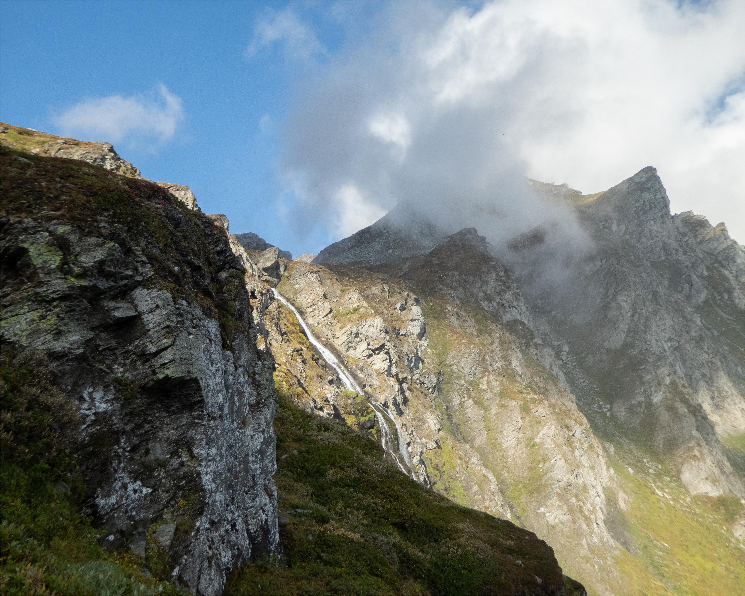
Hike in the Simplon region up to the crystal-clear Sirwoltu lake. The trail leads through rocky terrain and over scree slopes. The highest point is the Wyssbodehorn with a magnificent view down towards the mountain pass and across to the Valais alps.

Booking Information

Height profile

Weather:

Brig Simplon Tourismus

Comments about this activity or place?

Thank you for your feedback!