DE
FR
IT
EN
Directory
Weather
Map / Route
Timetable
Leisure
TV guide
Cinema
Snow
Web search
Apps
More
Personal Data »
Login:
Register
Password forgotten
or
Log in with local.ch
Log in with Apple
Log in with Facebook
Log in with Google
Log in with LinkedIn
Please note that our new
privacy statement
as well as the revised
terms and conditions of use
apply.
Leisure
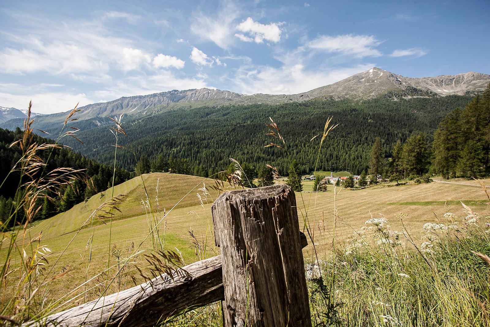
Mountain bike in Engadin Samnaun Val Müstair
Alpine Bike, Stage 2/16
National route No. 1, Stage 2: Tschierv – Livigno (I)
Description
National route
No. 1 (Scuol – Leysin)
Length
40 km
Ascent • Descent
↑ 1150 m • ↓ 1050 m
Lowest point • Highest point
1551 m • 2295 m
Grade
medium
Fitness level
medium
National route No. 1:
Alpine Bike
Stages
0. Bivio – Tiefencastel
0. Andermatt – Meiringen
0. Disentis – Andermatt
0. Zweisimmen – Château-d'Oex
0. Lumbrein – Disentis
0. Safien Platz – Lumbrein
0. Grindelwald – Interlaken
0. Tschierv – Livigno (I)
0. St. Moritz – Bivio
0. Interlaken – Adelboden
0. Meiringen – Grindelwald
0. Château-d'Oex – Leysin
0. Tiefencastel – Safien Platz
0. Adelboden – Zweisimmen
0. Scuol – Tschierv
0. Livigno (I) – St. Moritz
Ascent through airy larch woods into the mystic Val Mora: a heavenly high valley, one of the most stunning in Switzerland. A Canadian wilderness seems close enough to touch. Stony trail down into Italy, lovely route alongside shimmering lakes.
Comments on this information?
We welcome your feedback!
Presented by
Route
Height profile
Weather:
More...
Comments about this activity or place?
Incorrect information
Missing information
Another topic
Thank you for your feedback!
Close

&freizeit=1&noweather=1&width=400&height=200&x_axis_display=distance&polyline=a%7Bdq%40g%7BfIyfB%3FeQbMRiZeTbGRyUuLjSJkXgKdT%3FaX%7DLtRAgXmSpJ%3FgW%7DWwC%3FaYyNzIQoWuLnS%3FuWiOrNHyWcVhHAgX%7DMhEFyWaLoBrAaXsThEhAwWqDlGy%40mXyM%7EQyAuWmPnN_BsX%7DNnMcAmWhI%7EPs%40qXfQzNYkXzMtOW%7BVbF%7EUSqX%7CIpSwAuWrLdEwAgXdLrFyAoWvJjDyAcXvHnAoAsX%60MjQqAwWnTrIuAyWbQpMaAwWtEgB%7DAaXlTbF_B%7DWzVe%40_%40aXpVxHUuX%7CU%5BTuW%7CUeGFaXjU_Gj%40uWpT_Jl%40_X%7EXPHuY%7CQwKTcVdTqLHqXzM%7BQZqWjLaTj%40kXtReMd%40uWvTuIHeX%60T%7DIDyWpTuJj%40%7DWrTeK%5EaXhViGVaXlS%7BM%60%40wXzSoIJ%7DVbVoERuXfThBPiWlRdN%40kXfOlNXyWnJ%7CRJ%7DWrKxQ%60%40aXlFpVRgXjD%7EUTaX%7CF%7ETCqW%60GnUCeXnKrSVmXdBvVRmW%7DDtVa%40%7BWkBn%5CL%7D%5C_C%7EREuSkJtTUsWmN%7CQU%7DWwD%60TD%7BWpNhHe%40cXnGzFqBsXzIlBkAoXMfI%7BA%7BXhUbC%7D%40yUdW%7BCqAqXxV%7DA%7D%40aXjUcD_%40oWrWq%40GeXdWkB%5BmXrTeEWkWdVoFe%40%7DWvWgELiY%7ETHbA%7DVxVgD%7EA_X%7EViArBgXbUsGrCwWfBoAtAeXlVL%7EBsWuEwHfAcXfTfBGyWpQyG%5C_XtLuQr%40%7DWhNePrA_XdD%60JpAoXlWH%40sWvV%60F%3F_XlSnOCqYjG%7CS%3FkVnEjWWkXdI%60UAoW)