search.ch

Schwarzwasser-Sense-Schluchtenweg

Local route No. 381, Schwarzenburg–Schwarzwasserbrücke
  • Image 1

Description

Local route
No. 381 (Schwarzenburg–Schwarzwasserbrücke)
Length
12 km
Ascent • Descent
↑ 420 m • ↓ 560 m
Lowest point • Highest point
574 m • 806 m
Hiking time
3 h 25 min
Grade
easy (hiking trail)
Fitness level
medium
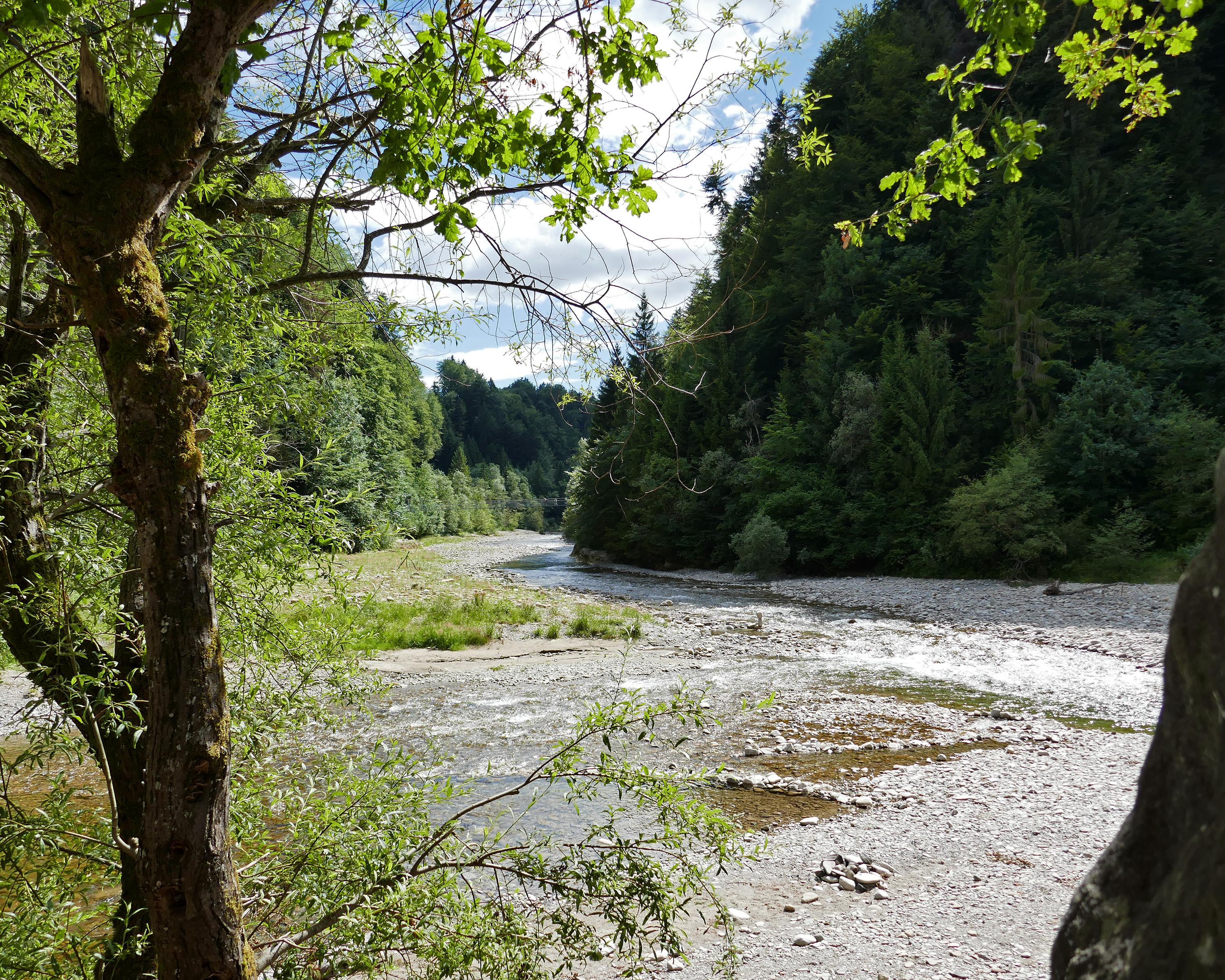
Towards Grasburg , the largest castle ruin of the canton, over the Harrissteg and up until the village of Albligen. Admire the view of the Alps, the Jura and the Mittelland. Descend in the woody gorge of the Sense and enjoy a well-deserved swim or a BBQ amidst the natural alluvial landscape.

Booking Information

Height profile

Weather:

Förderverein Region Gantrisch

Comments about this activity or place?

Thank you for your feedback!