search.ch

Alpine Passes Trail

National route No. 6, Cab. de Prafleuri–Cab. de Louvie
  • Image 1

Description

National route
No. 6 (Cab. de Prafleuri–Cab. de Louvie)
Length
11 km
Ascent • Descent
↑ 780 m • ↓ 1200 m
Lowest point • Highest point
2215 m • 2986 m
Hiking time
4 h 35 min
Grade
medium (mountain hiking trail)
Fitness level
difficult
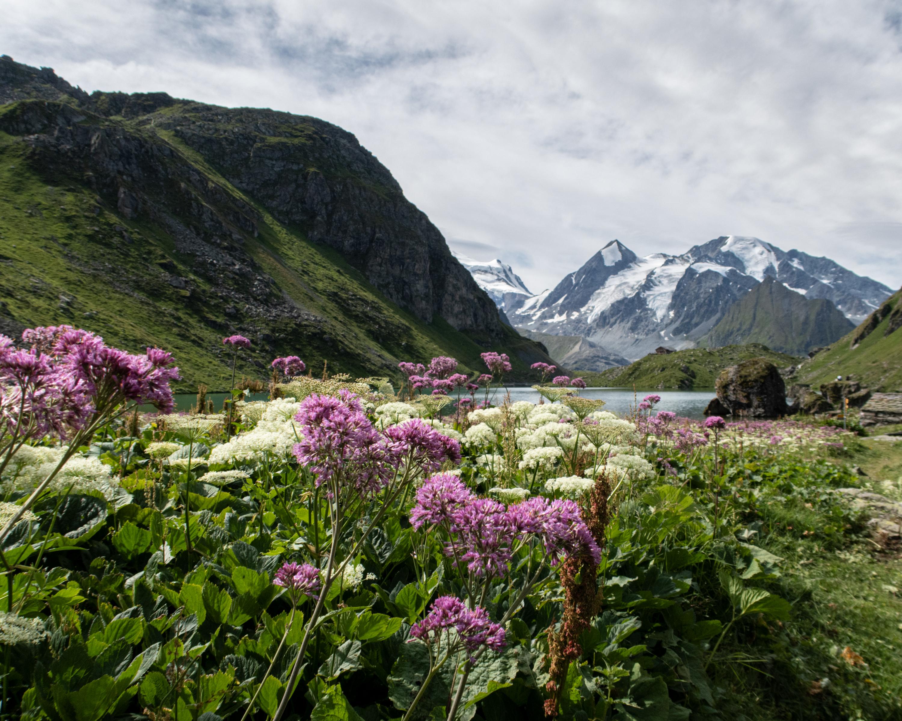
Following an overnight stay in the hut, the route takes you across several passes through wild, alpine landscapes and past glacial tongues. The destination for this stage is Lac de Louvie with its superb view of the Combin massif. You may see chamois and ibexes on the steep slopes.

Height profile

Weather:

Comments about this activity or place?

Thank you for your feedback!