search.ch

Jakobsweg Graubünden, Stage 19/19

Regional route No. 43, Stage 19: Sedrun – Oberalppass
  • Image 1

Description

Regional route
No. 43 (Müstair – Oberalppass)
Length
14 km
Ascent • Descent
↑ 1100 m • ↓ 500 m
Lowest point • Highest point
1397 m • 2158 m
Hiking time
4 h 50 min
Grade
medium
Fitness level
difficult
Regional route No. 43: Jakobsweg Graubünden
Stages
1. Müstair – Lü
2. Lü – S-charl
3. S-charl – Scuol
4. Scuol – Guarda
5. Guarda – Zernez
6. Zernez – S-chanf (Cinous-chel)
7. S-chanf (Cinous-chel) – Dürrboden
8. Dürrboden – Davos Dorf
9. Davos Dorf – Langwies
10. Langwies – Tschiertschen
11. Tschiertschen – Chur
12. Chur – Tamins
13. Tamins – Trin Digg
14. Trin Digg – Laax (Falera)
15. Laax (Falera) – Brigels (Andiast)
16. Brigels (Andiast) – Trun
17. Trun – Disentis
18. Disentis – Sedrun
19. Sedrun – Oberalppass
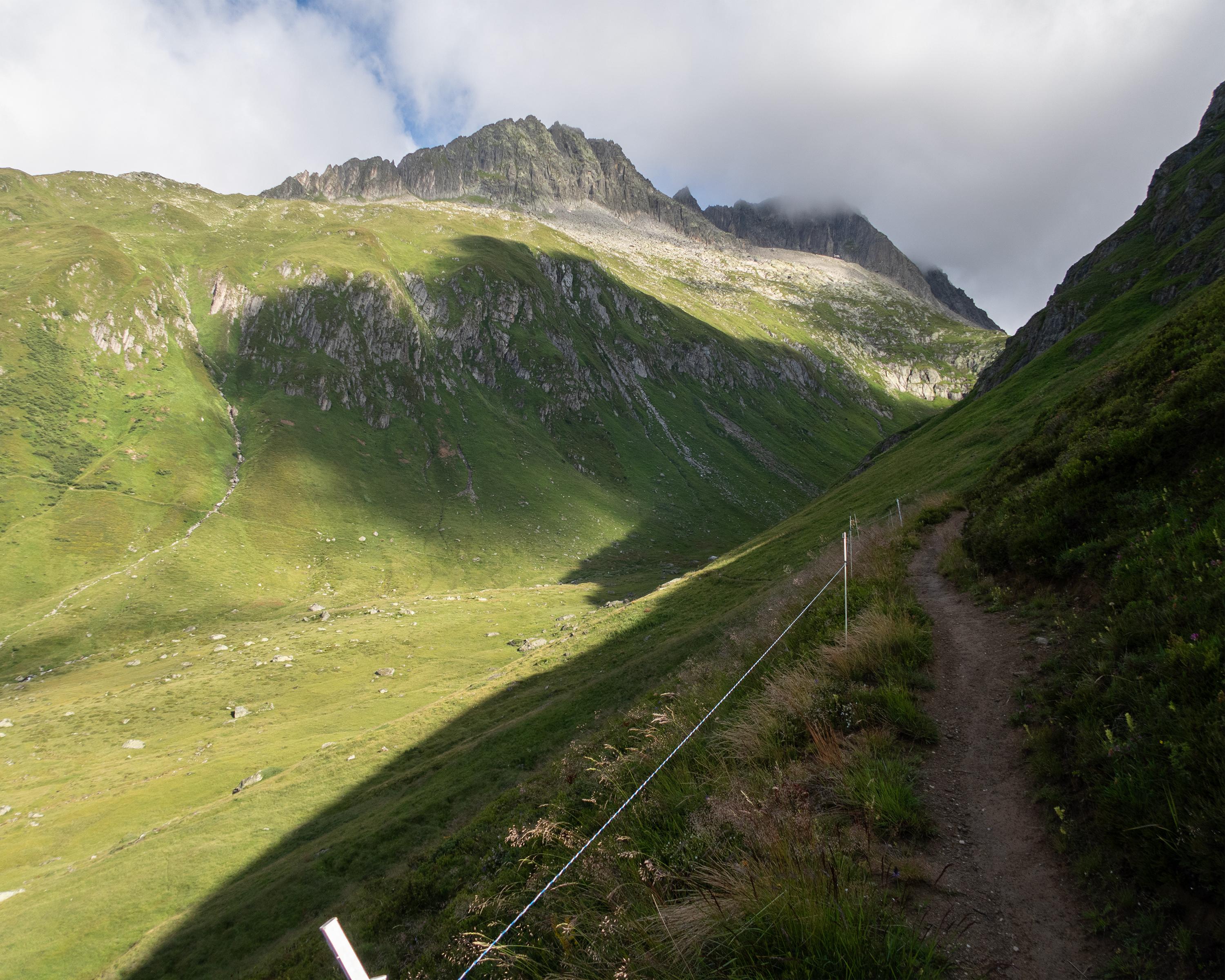
This route leads through the municipality of Tujetsch, passing a chapel and then carrying on to the church in Rueras. This is where you will start to climb, gaining just under 1,000 metres in altitude before you reach your destination. First you will arrive in Liets, with its magnificent views over the mountain pass landscape. The Milez area is a hotspot for winter sports. Passing through Bostgas and Val Val, you will come to the Pass Tiarms and eventually make your way to the Oberalp Pass. This is where the stretch of the Way of St. James through Grisons ends.

Height profile

Weather:

Comments about this activity or place?

Thank you for your feedback!