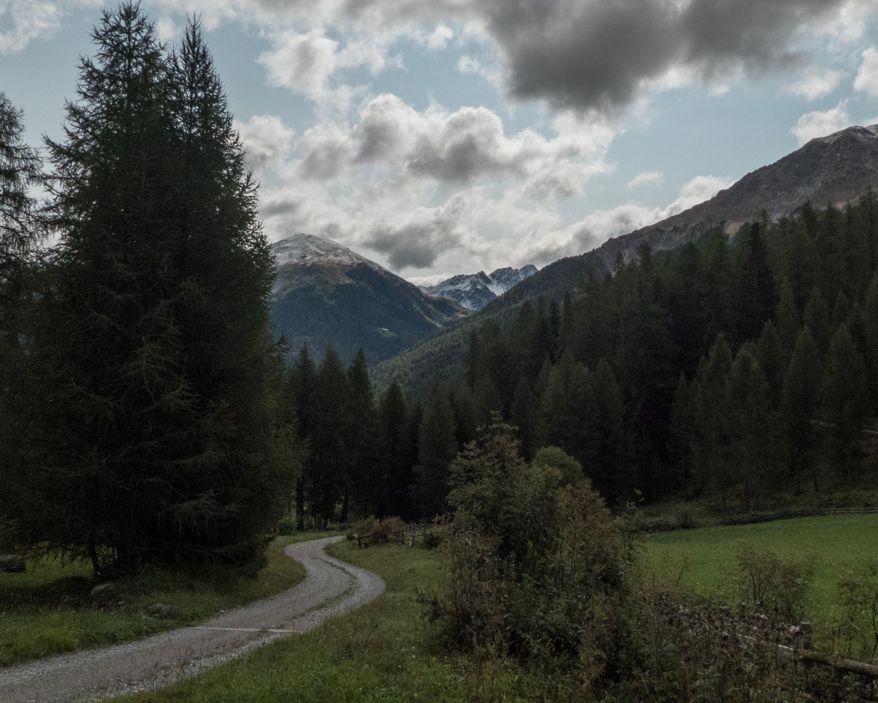
From Zernez the route leads through the unique National Park to Tschierv. You then reach Val Müstair with its world-famous St. Johann Monastery in Müstair. Finally you cross the border into Vinschgau and travel on through the pretty little towns to Mals.

&freizeit=1&noweather=1&width=400&height=200&x_axis_display=distance&polyline=i%7C%7Eo%40%7DiuI%7DzA%3FmTkQCu_%40qRlYQm%60%40g%5EkDWca%40y%5BcD_B%7B%5Dm%5CvKqAs_%40cXzIeBo_%40mZ%7EHqAa%60%40%7D%5Dj%40uA%7D_%40qQd%40sAy_%40wGlPgAe_%40mXjNI%7D_%40wYbRy%40_%60%40%7B%5CjN%7D%40q%60%40sR%7EVe%40g%5EqWgOrAw_%40fBf%5BXk_%40eOdZ%5Cu_%40rKtZ%5E%7B%60%40eOvY%5Cm_%40sK%60Q%5Ea_%40mKj%5CZm_%40sVbTZw_%40wZvFZy_%40w%5BmIB_%60%40iUwTaAaa%40qMwWSy%5DkUoR_%40u_%40s_%40gB%5Da%60%40s%5DhE%7BAm_%40i%5B%7EFcAa%60%40e_%40jBYo_%40q%5ExGWu_%40w_%40dHO%7D%60%40k%5BpKs%40q%5E_VfNCi_%40c%5DfLWe%60%40cZdP%5Ds_%40wZxOe%40y_%40u%5Eg%40w%40g%60%40gT%7CNqAo%5EsWvKgBs_%40e%5CjO_Bma%40ySyItAc%5EsIbPz%40y_%40mMpU%60By_%40m%5BmAbBw_%40eTnGfBq_%40fE%7CE%7EAs_%40%7DSdPzAq_%40%7D%5C%7CBzAw_%40gYw%40zAq_%40%7DXtLrAu_%40%7B%5DuALy_%40cJvY%60Ay_%40w%5DlJXi%60%40kTzTNi_%40oOhZ%3Fs_%40mTxS%3Fi_%40%7D%5BdB%40y_%40aVtJSo_%40yNb%5BCy_%40u%5CnL%5C%7D_%40eUxGGu_%40yRDlBw_%40%7DZe%40dBq_%40%7BVjFvAm_%40g%60%40jIvBya%40gXsFXo%5De%60%40%7DANm%60%40c%5DmEr%40__%40eRyFg%40u_%40%7BZqNE_%60%40mK%7DZbAk_%40_UwUbBw%60%40kGaRjAc_%40_UyT%5Cq_%40%7BLi%5BVm_%40uQuTHa%60%40zGqZPo_%40eJoPJu_%40cWkLPs_%40%7DKgYKq_%40eWqStAw_%40_TcVp%40u_%40mRgXlA%7B_%40iH%7B%5Bn%40m_%40cZgRf%40ga%40mXaMr%40_%5EsUmUr%40ga%40kR%7BVl%40y_%40iQ%7BVVo%5EoR%7DV%5Ck_%40%7BZ%7DOd%40aa%40_XmNPa%5EuVySDs%60%40wW%7BNc%40w%5EoKoXe%40_%60%40e%5DZ%40ka%40g%5BwL%3Fg_%40%7DKkO_%40c%5E)