DE
FR
IT
EN
Directory
Weather
Map / Route
Timetable
Leisure
TV guide
Cinema
Web search
Apps
More
Personal Data »
Login:
Register
Password forgotten
or
Log in with local.ch
Log in with Apple
Log in with Facebook
Log in with Google
Log in with LinkedIn
Please note that our new
privacy statement
as well as the revised
terms and conditions of use
apply.
Leisure
Hike in Basel Land
ViaSurprise
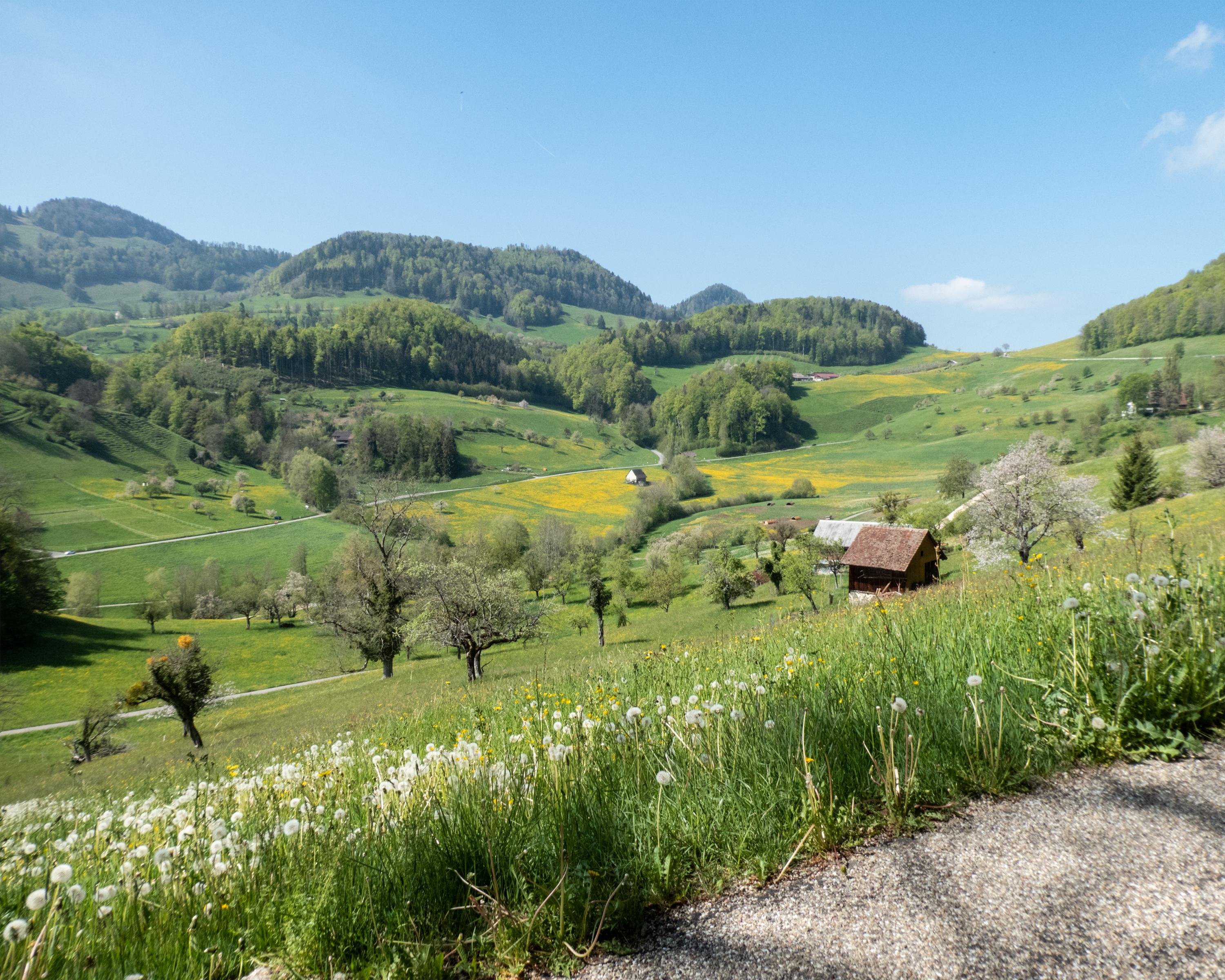
Regional route No. 32, Seewen–Wasserfallen
Description
Regional route
No. 32 (Seewen–Wasserfallen)
Length
12 km
Ascent • Descent
↑ 660 m • ↓ 280 m
Lowest point • Highest point
506 m • 929 m
Hiking time
3 h 45 min
Grade
easy (hiking trail)
Fitness level
medium
Past the Baslerweiher (Basel Pond), the route leads over gentle hills to Reigoldswil, a village long known for its tradition of silk ribbon weaving. Shorten the ascent to the Wasserfallen by catching a ride in a cableway gondola.
Comments on this information?
We welcome your feedback!
Presented by
Route
Height profile
Weather:
More...
Comments about this activity or place?
Incorrect information
Missing information
Another topic
Thank you for your feedback!
Close