search.ch

Via Albula/Bernina, Stage 5/10

Regional route No. 33, Stage 5: Preda – Spinas
  • Image 1

Description

Regional route
No. 33 (Thusis – Tirano (I))
Length
12 km
Ascent • Descent
↑ 820 m • ↓ 780 m
Lowest point • Highest point
1779 m • 2467 m
Hiking time
4 h 20 min
Grade
medium
Fitness level
medium
Regional route No. 33: Via Albula/Bernina
Stages
0. Le Prese – Tirano (I)
0. Thusis – Tiefencastel
0. Preda – Spinas
0. Filisur – Bergün / Bravuogn
0. Tiefencastel – Filisur
0. St. Moritz – Ospizio Bernina
0. Bergün / Bravuogn – Preda
0. Spinas – St. Moritz
0. Ospizio Bernina – Cavaglia
0. Cavaglia – Le Prese
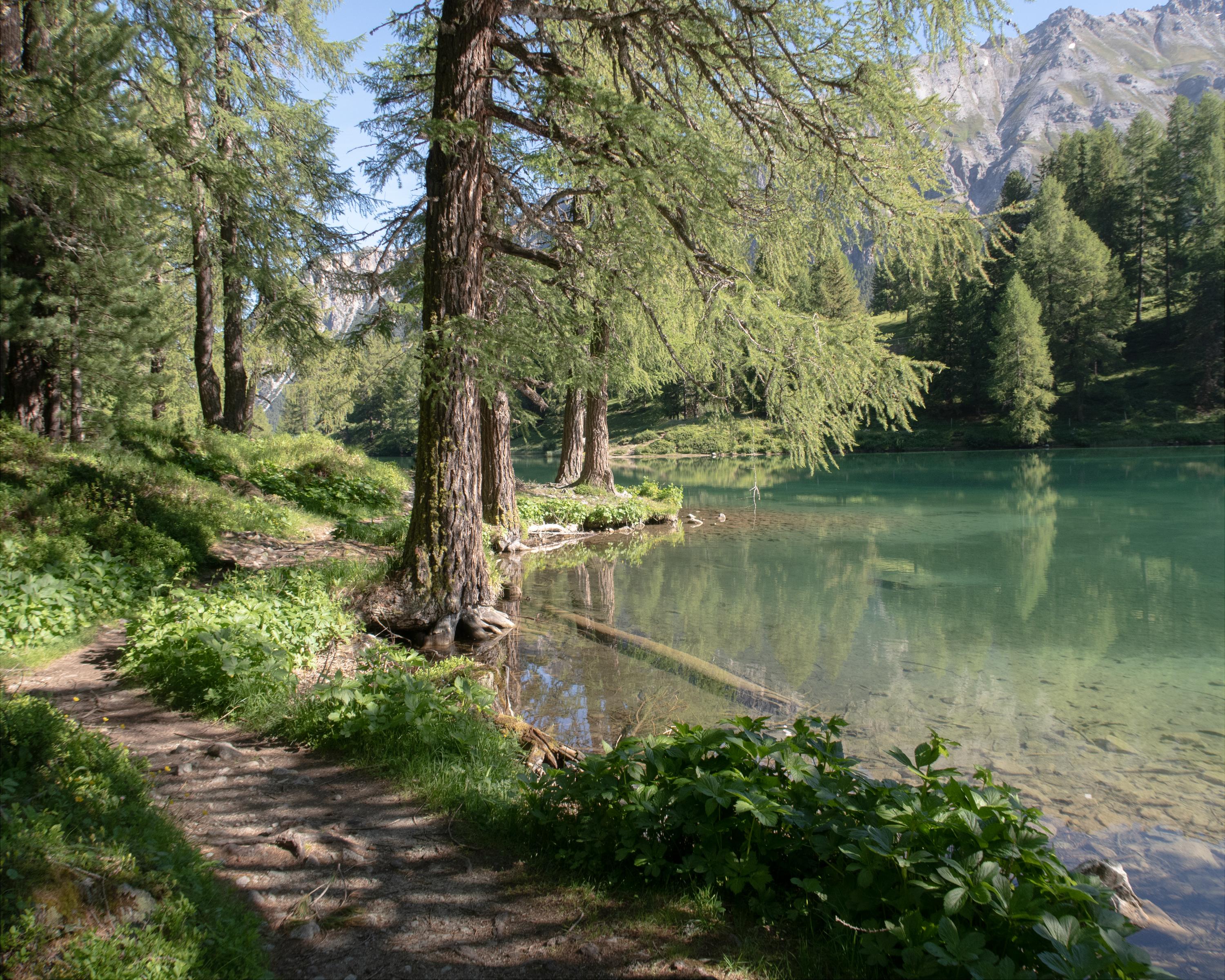
This leg is the highlight of the route, setting off from Preda via the Albula Pass to the southern tunnel portal. The mountain hiking trail passes by the crystal-clear Lai da Palpuogna lake, climbing up to Alp Weissenstein (known as Crap Alv in Romansh) and onward to Fuorcla Crap Alv. This is followed by a steep descent into the Val Bever valley until you reach the idyllic Spinas, your destination for this leg.

Height profile

Weather:

Comments about this activity or place?

Thank you for your feedback!