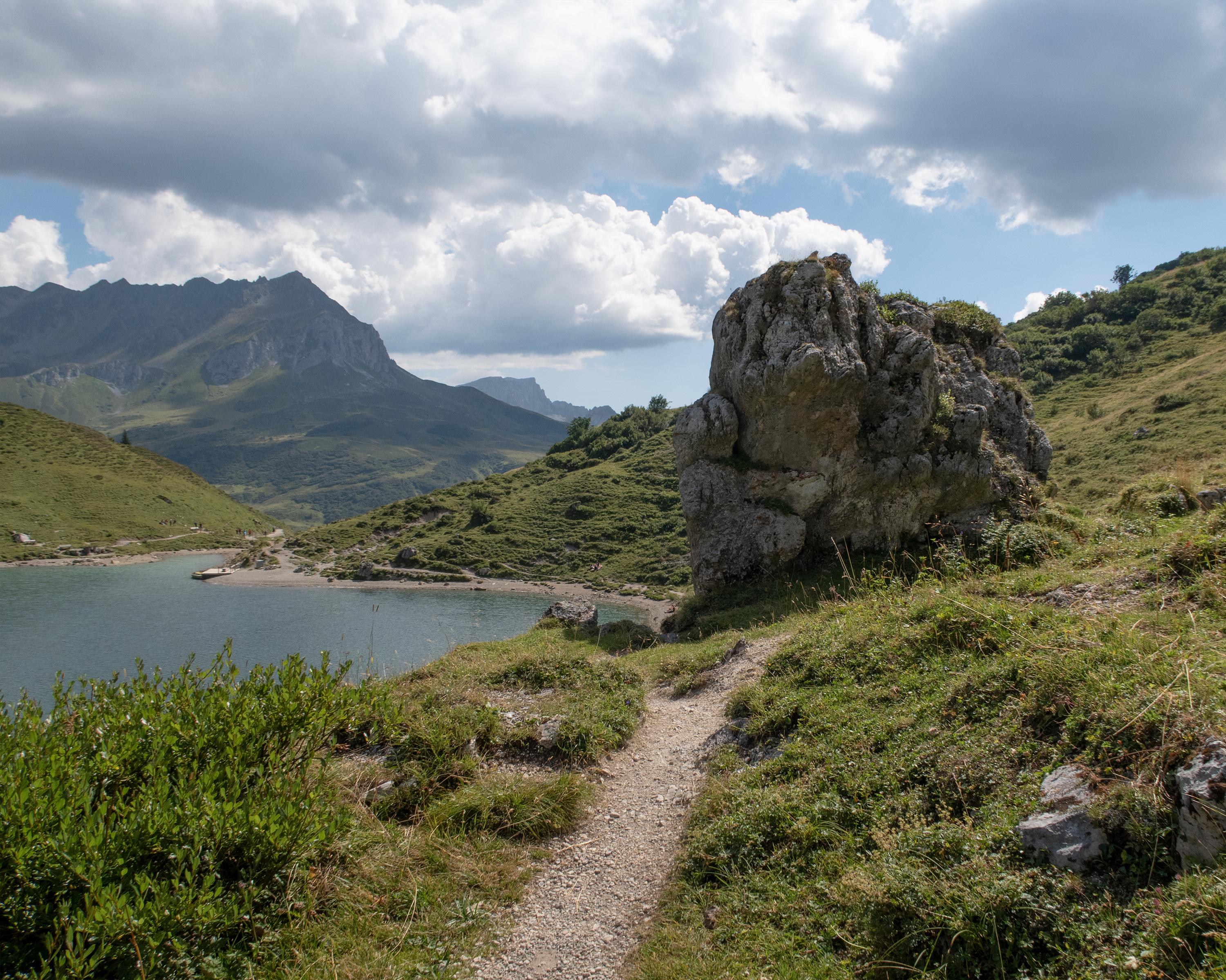
This cross-border hiking tour into nearby Austria not only allows us to retrace the footsteps of the Walser people and many a smuggler, it also provides a geological cross-section through the Rätikon mountain range with its striking contrast of light limestone and dark crystalline Silvretta rock.

..St.+Ant%C3%B6nien+(Partnun)&freizeit=1&noweather=1&width=400&height=200&x_axis_display=distance&polyline=ahzn%40yttKcmB%3FmFdA_%40%7BFaCvEBeG%7BCdDIiF%7BEhBK%7DFoExBCsFsEdBK_G_EfCUsFaEhCe%40uFcFp%40s%40wFwDhDo%40aGwDdC_AkFuEdBy%40wFkDzCcA%7DFwCzBoA_GsAjAuAkFmDe%40eBcGaCwD%7D%40mFTsFa%40%7DF%7B%40mF%5BgGyAaEI_FcBwEGyFcAsEQ%7BFsA%7BEc%40uF_BcFe%40%7DF%5BaFU%7BFXaFUkFg%40%7BDw%40%7BF%7CB%7DEYiGFiFWkF%7E%40gFUwF%40yFu%40%7BFkA_GYoGqAmDKwEgA%7BD%60BuFCuFC%7DF_C%7DDV_G_AgF%5C_G%7DA_E%5CkFOkFl%40qFg%40aEh%40yFNmEtAwFhAsECwF%7EAqE%40yFjBaENcGfDcDUuFq%40gEjAoFhAsEw%40%7BFb%40%7DE_BqFzBaD%3FuF%60%40%7DCp%40%7DFFeDHsFpCsESeGhCoDQiFrCkEn%40cGbEuB%5EqF%60E_Ct%40wFdEwBs%40uFfDuDQaGrDz%40i%40kGgArDKoFQjDDkFeBvCXoFp%40%7EDm%40wFfB%7EBnAuF%7DEhBp%40aGoDzC%5CuFc%40zELqFrAhFD_GvDnC%40%7BFjDxBSuFhEhBc%40oFbEjAW_GxDrAh%40qFlFBRuFdFn%40l%40_G%60Ej%40r%40uF%3FwCh%40wFxBoDVsFtEm%40%5CwFvClE%7C%40cG%60%40dFx%40uF%3FhFXoFjBhEf%40yFpAxENyFt%40jF%60%40uF%60%40dFb%40wFApFT%7BFNpFFyFh%40jFT%7DFyBxD%3FwF_%40fFLuFNjFl%40oFZlF%5CwFGhFX%7DFvAbFLyFe%40hFRqFw%40%7CEb%40yFShFIuFTtFZ_Ge%40xEHoF)