Local route No. 475, Stage 5: Echallens – Echallens
Description
Local route
No. 475
Length
21 km
Ascent • Descent
↑ 300 m • ↓ 300 m
Lowest point • Highest point
580 m • 691 m
Fitness level
easy
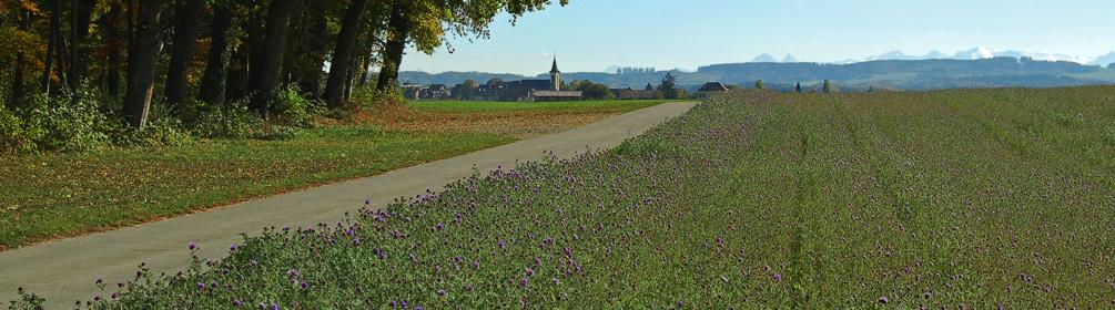
Fields, forests and streams await you. There are also animals all along the way, either in the pastures or in the many farms that are still operational.