search.ch

Gürbe–Sense

Regional route No. 74, Thun (Amsoldingen)–Bern
  • Image 1

Description

Regional route
No. 74 (Thun (Amsoldingen)–Bern)
Length
38 km
Ascent • Descent
↑ 260 m • ↓ 340 m
Lowest point • Highest point
496 m • 691 m
Fitness level
easy
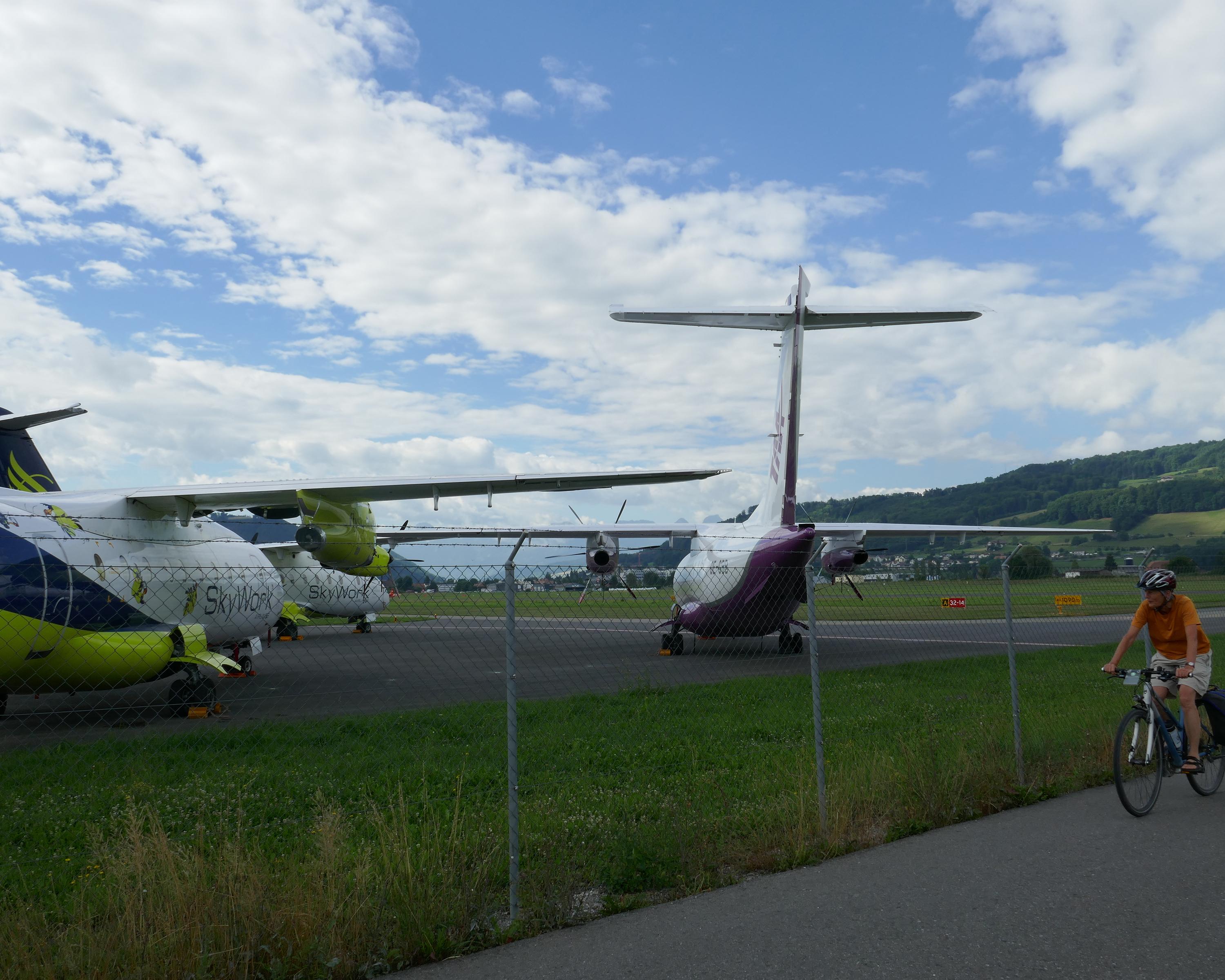
Over gentle hills, passing tiny moraine lakes to «Chabisland» (cabbage country). An easy roll between clearly laid-out fields, silver planes waiting to take off in Belpmoos. Follow the River Aare at ground level, then ride through the lanes of Bern's UNESCO-listed Old Town.

Height profile

Weather:

Comments about this activity or place?

Thank you for your feedback!