DE
FR
IT
EN
Directory
Weather
Map / Route
Timetable
Leisure
TV guide
Cinema
Snow
Web search
Apps
More
Personal Data »
Login:
Register
Password forgotten
or
Log in with local.ch
Log in with Apple
Log in with Facebook
Log in with Google
Log in with LinkedIn
Please note that our new
privacy statement
as well as the revised
terms and conditions of use
apply.
Leisure
Hike in Salins
Sentier du Sel
Local route No. 132, Stage 2: Plambuit – Bex
Description
Local route
No. 132
Length
13 km
Ascent • Descent
↑ 360 m • ↓ 680 m
Lowest point • Highest point
473 m • 1023 m
Hiking time
3 h 35 min
Grade
easy
Fitness level
medium
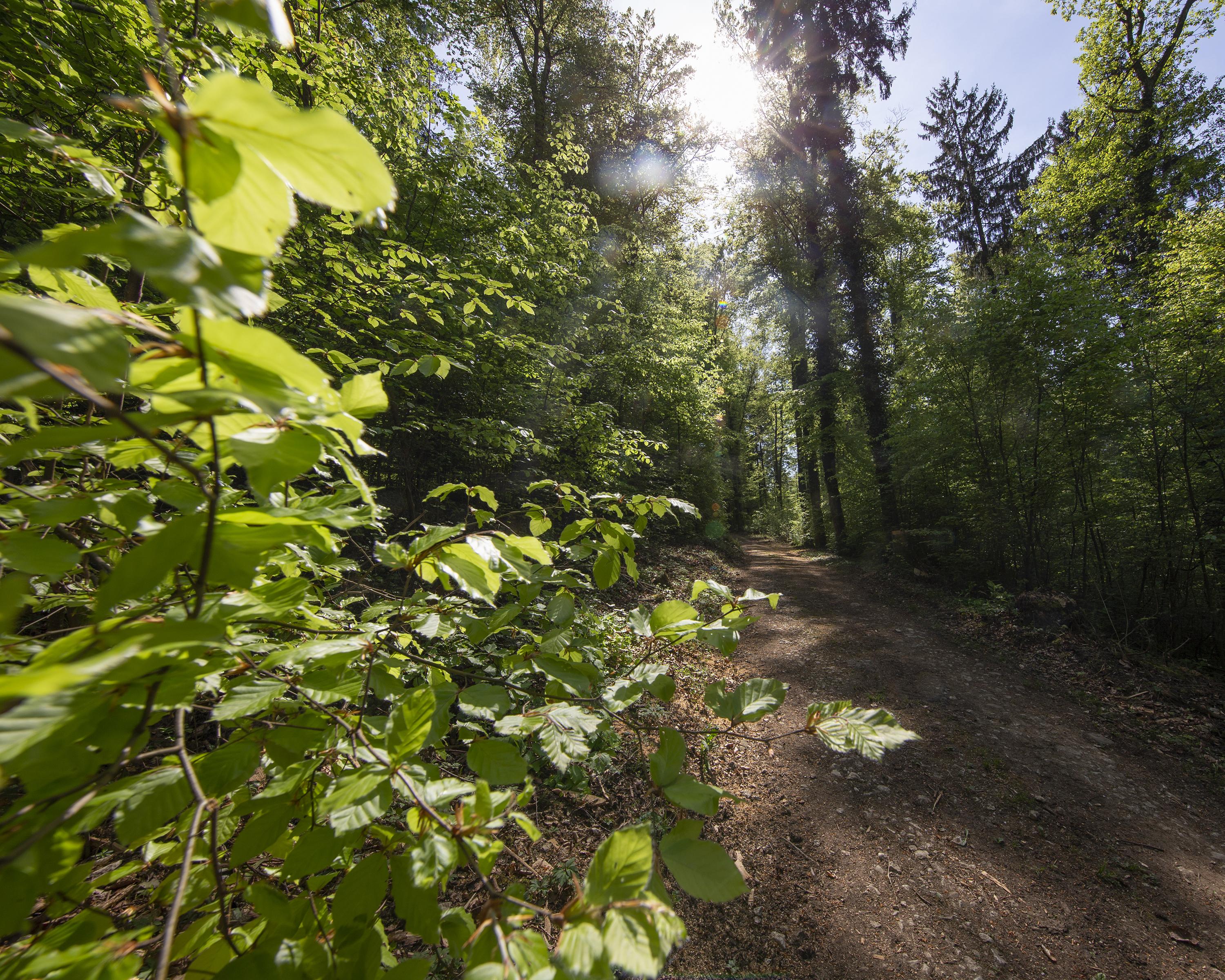
Through hamlets, forests, meadows and vineyards, prospecting for white gold: information panels guide you along this educational trail as you follow a channel that used to carry salt water. On the way, you can visit the salt mine in Bex.
Booking Information
E-mail:
info@sentierdusel.ch
Comments on this information?
We welcome your feedback!
Presented by
Route
Height profile
Weather:
More...
Association Cum Grano Salis
Avenue de la Gare 18, 1880 Bex
Association Cum Grano Salis
Avenue de la Gare 18, 1880 Bex
024 463 44 26
Comments about this activity or place?
Incorrect information
Missing information
Another topic
Thank you for your feedback!
Close