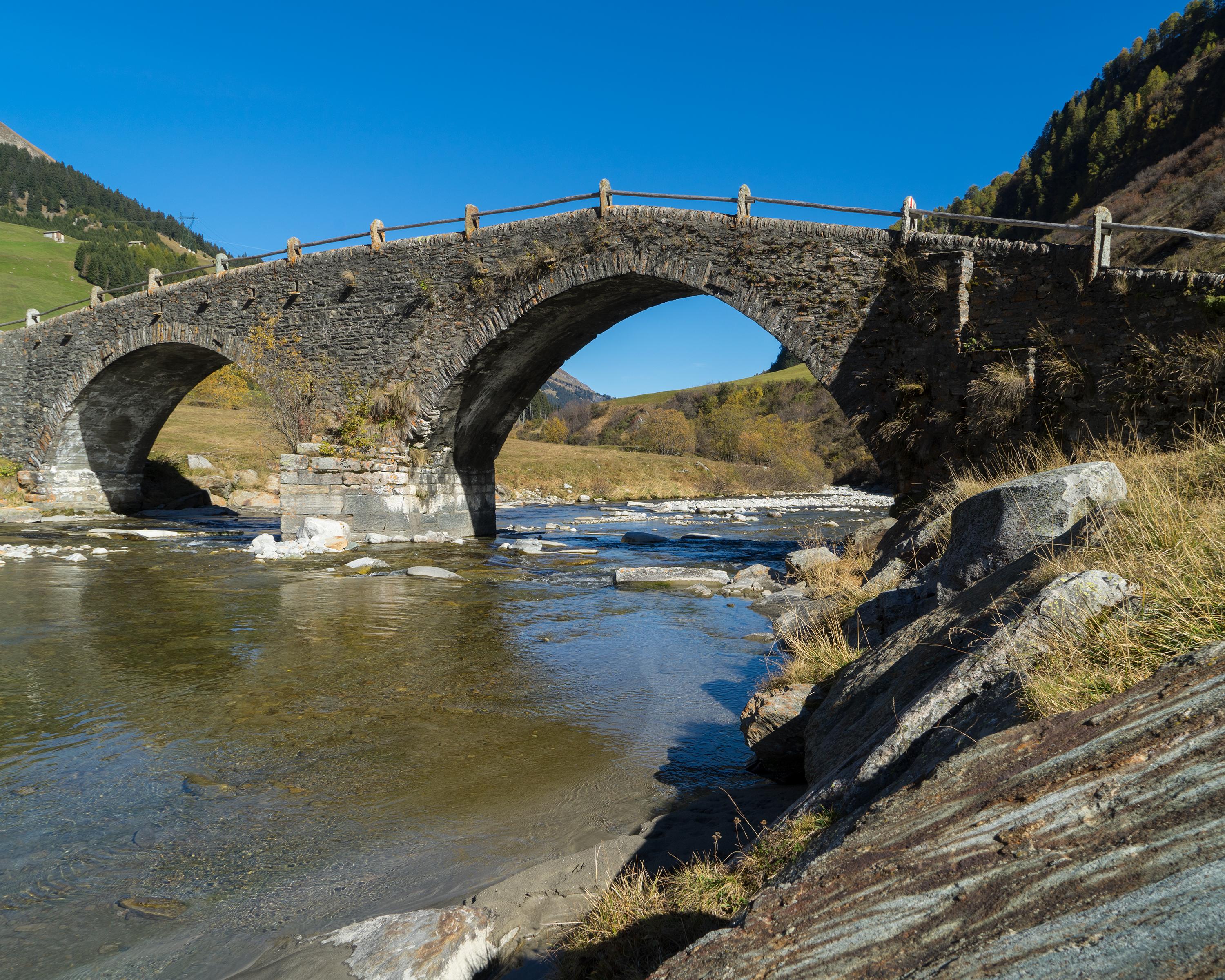
The Walserweg Graubünden follows the tracks of the Walsers in the high valleys of Graubunden in 19 one-day stages (total 300 km). The route leads along historic trails through breathtaking nature and intact cultivated landscapes. Hikers gain insights into the culture and history of the Walser folk.

&freizeit=1&noweather=1&width=400&height=200&x_axis_display=distance&polyline=%7B%7Cyk%40ol%7EGocB%3Ft%7C%40s%60DkZwfE%7BIsnD%7CFyfEkvAicC%7CRgfEs%7E%40mvA%7BZmfE%60rAocBuZofEeVwcDxd%40sfEx%7D%40a%7CCpKofExb%40qgAxQkfEcgBaTcd%40ofEm_C%7Ec%40aRofE_uB%5EbJqfEkzAiuBbYaiE%7C%5Bo_DaH%7DcEoiA%7DtCaBmfEsnA%7B_ApSyfEiuAbLiDifEgyCpL%7BMufEmbBkg%40x_%40gfEu%7CBmcAhGufEcmAjH%7EUyfEswBchApIefEsWxtAmRkfEahAmb%40uHwfEsg%40neBmk%40sfErRh_B%60DgfExn%40tR%60UmfEtY%60yBlVagEl%7E%40bvCQefE%60t%40rdCpCgfExF%7EaCsIufEoeAliAaCufE%7CKnbDiH%7DfEcGd_DoG%7DeEs%7CAx%7DAoAifEetAtsBoIsfEeuAddCsCwfEu%7EBhXsHefEw%7BB%60%7CA%7BAofEsyCjlAaH%7DfEytB%7DOuXifEro%40msCyEifEcAolDn%5D%7DfE%7Bz%40imC%7CTgfEknBmcAjQifEkgBpQi%5BufEws%40kbCePofEcb%40_jCqEsfE_zAyyBpMmfEfI_zBmRkfEr%5Ew_B%7DDofEgu%40i%60C%60%5BofEdy%40miDtX%7DfE%7BVq_BtYofEuA%7B%7DA%7EAcfEopBur%40cQqfEshBm%60AyBqfEylBgjAsGggEseCk%5CcIweEm%7CBnzA%7Bd%40mfEcrCqVrLqfEoh%40%7DfC%7ETmfEViwCiQwfEinByt%40%7DJufEqZmcCja%40cfEhuAwxCbLegEn%7CCqn%40P%7BeEdaCrpAqEmfE%60iBf%60ByM%7BfErfCj%5BkWifEbqDeW%7EAkfEdmCyM%7Cg%40ogE%7BNko%40qAweE%7B%60CqzAuNsfEoqBirAsFgfEyvA%7BdA%60PwfEfoDcf%40%7CSufEeg%40sc%40_HqfEmUslBkT_gEkzCysAiEseEavCrKcQmfEc%7E%40y%60CpTyfEwbCmd%40jZcfEa%7CCn%5E%7ERqfEgRacCmD%7DfEyaAioCcUafEpwAv_%40uYsfE%60eBi%7CBuIofEyo%40wwBoF%7DfE%7CpAyzBnd%40qfEllCe%7CA%7CQ%7DeEiv%40yz%40yEyfEc%7DAkeCmMmfEbtAq_%40uWufE%7EtBksADkfEhrBwg%40nFkfEbwAs%60CwNkhEd%60A_jAnS%7DdEdk%40qiA%60SofE%7EgAujBnXmfE_KqqDbNefE)