search.ch

Obwaldner Höhenweg

Regional route No. 57, Storeggpass–Stanserhorn
  • Image 1

Description

Regional route
No. 57 (Storeggpass–Stanserhorn)
Length
13 km
Ascent • Descent
↑ 1300 m • ↓ 1150 m
Lowest point • Highest point
1395 m • 2087 m
Hiking time
5 h 40 min
Grade
medium (mountain hiking trail)
Fitness level
difficult
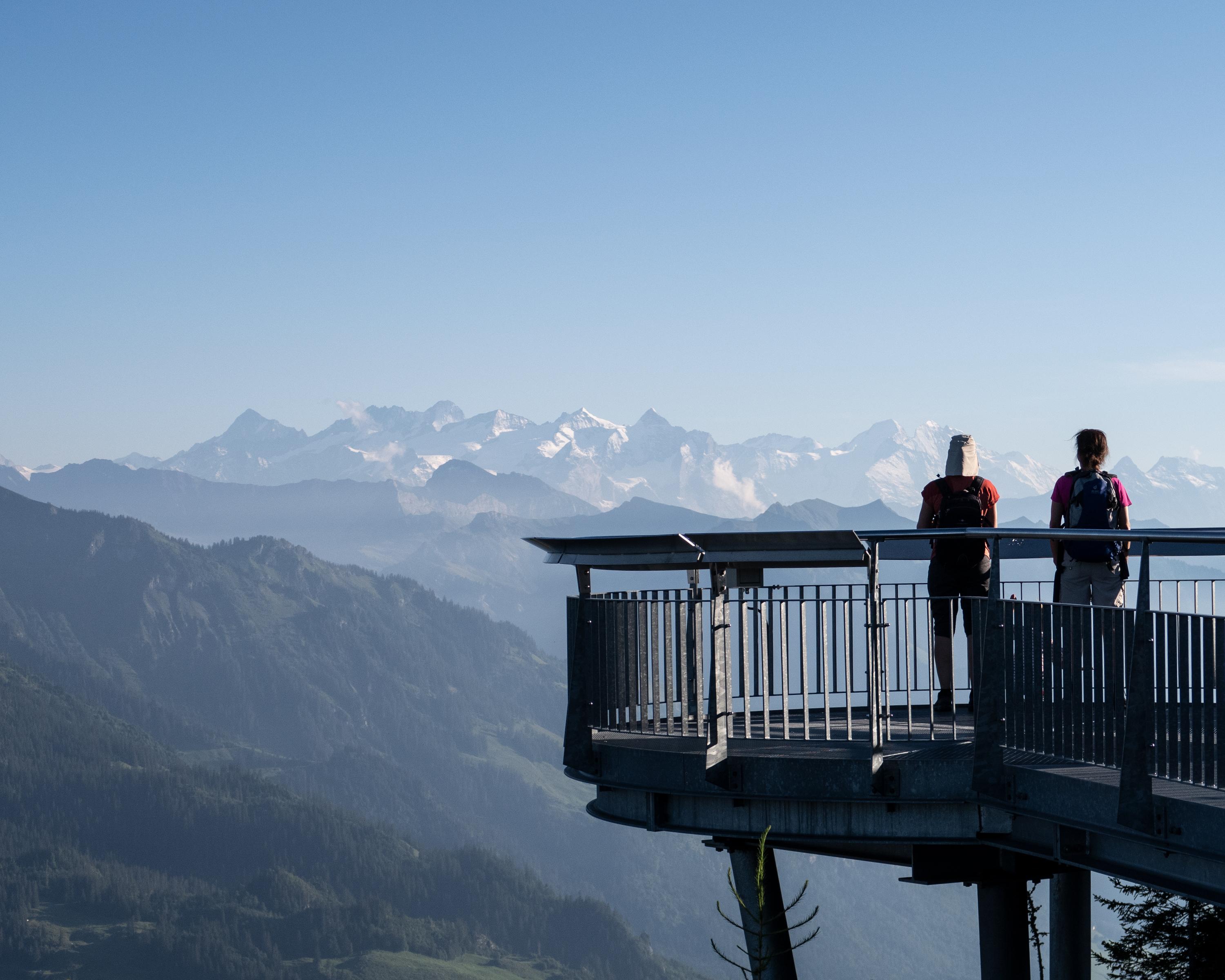
From the Storegg pass to the Schluchigrat ridge with views of the Bernese alps and the Titlis. The Wagenleis canyon is the geological highlight of the tour. After a root-covered passage, the Holzwang chapel commemorates the French raid of 1798. A panoramic view of the alpine chain and ten lakes awaits you on the Stanserhorn.

Height profile

Weather:

Comments about this activity or place?

Thank you for your feedback!