DE
FR
IT
EN
Directory
Weather
Map / Route
Timetable
Leisure
TV guide
Cinema
Web search
Apps
More
Personal Data »
Login:
Register
Password forgotten
or
Log in with local.ch
Log in with Apple
Log in with Facebook
Log in with Google
Log in with LinkedIn
Please note that our new
privacy statement
as well as the revised
terms and conditions of use
apply.
Leisure
Biking in Surselva
Percorso Blenio–Lucomagno
Regional route No. 36, Olivone (Camperio)–Disentis
Description
Regional route
No. 36 (Olivone (Camperio)–Disentis)
Length
32 km
Ascent • Descent
↑ 800 m • ↓ 900 m
Lowest point • Highest point
1067 m • 1978 m
Fitness level
medium
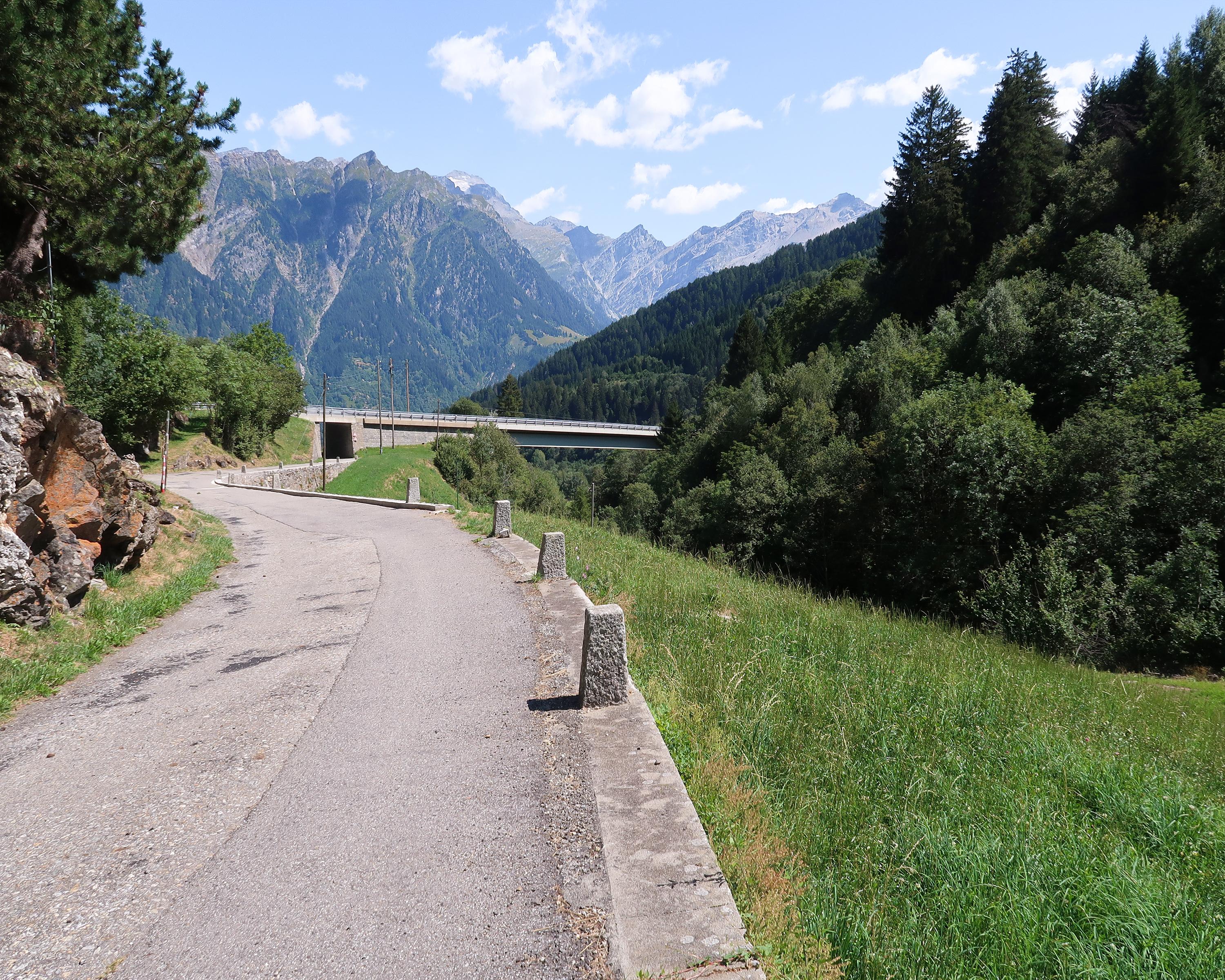
On the road towards Passo del Lucomagno, from Mother Nature’s parklands up to the rugged pass head, boundary between the Ticino and Graubünden. Descent through the Val Medel and Höllenschlucht (gorge) to the monastery village of Disentis.
Comments on this information?
We welcome your feedback!
Presented by
Route
Height profile
Weather:
More...
Comments about this activity or place?
Incorrect information
Missing information
Another topic
Thank you for your feedback!
Close