search.ch

Panorama Bike

Local route No. 330, St. Antönien – Grüsch
  • Image 1

Description

Local route
No. 330 (St. Antönien – Grüsch)
Length
94 km
Ascent • Descent
↑ 4100 m • ↓ 4900 m
Lowest point • Highest point
593 m • 2156 m
Grade
difficult
Fitness level
difficult
Local route No. 330: Panorama Bike
Stages
1. St. Antönien – Klosters Platz
2. Klosters Platz – Pragg-Jenaz
3. Pragg-Jenaz – Grüsch
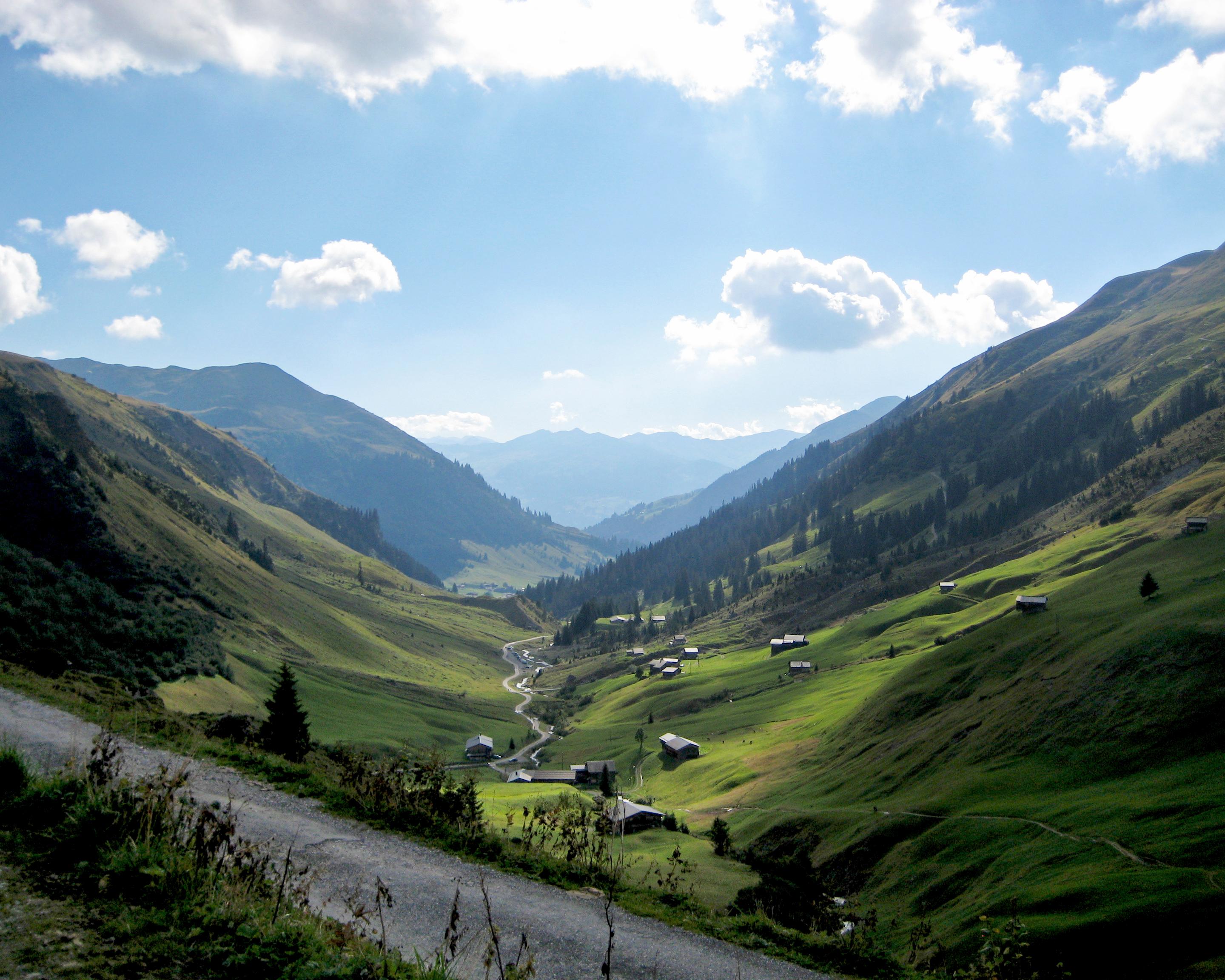
See the Prättigau from every side: The Panorama Bike route takes you through unique cultural landscapes, original Walser settlements, secluded valleys and steep ravines. The views of the Prättigau region and the Rätikon mountain chain make this route a truly incredible experience.

Booking Information

Height profile

Weather:

Prättigau Marketing

Comments about this activity or place?

Thank you for your feedback!