search.ch

Sense–Glâne–Veveyse

Regional route No. 62, Schwarzenburg–Plaffeien
  • Image 1

Description

Regional route
No. 62 (Schwarzenburg–Plaffeien)
Length
14 km
Ascent • Descent
↑ 360 m • ↓ 300 m
Lowest point • Highest point
760 m • 1024 m
Fitness level
easy
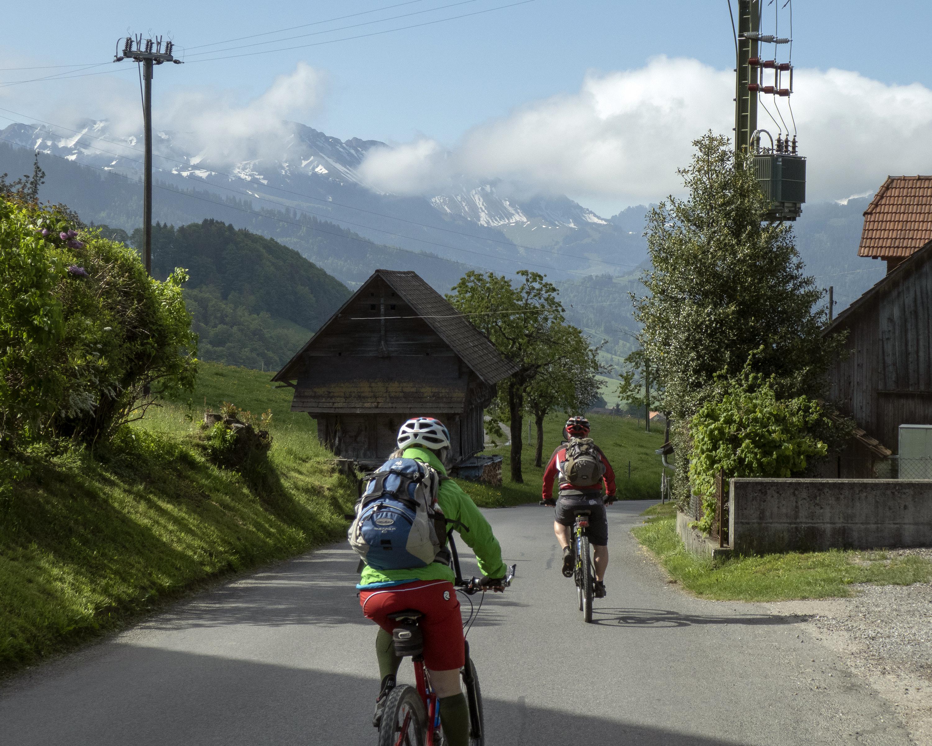
The second and shortest stage immerses you in the hilly landscape of the Gantrisch nature park. Starting in Schwarzenburg, it takes you between Guggershörnli and Sensegraben as far as Guggersbach. Once across the Sense River and in the Canton of Fribourg, you continue on via Zumholz to Plaffeien.

Height profile

Weather:

Comments about this activity or place?

Thank you for your feedback!