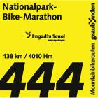
Description
From the sunny Val Müstair you reach the Lago di S. Giacomo di Fraéle and the Alpisella via the Val Mora. From there the route plunges down to the Lago di Livigno and finally Livigno, the end of this stage.
Booking Information
- E-mail: info@engadin.com
 Nationalpark Bike-Marathon

