Local route No. 426, Stage 6: Untergrenchenberg – Tavannes
Description
Local route
No. 426
Length
17 km
Ascent • Descent
↑ 360 m • ↓ 900 m
Lowest point • Highest point
754 m • 1303 m
Hiking time
4 h 40 min
Grade
medium
Fitness level
difficult
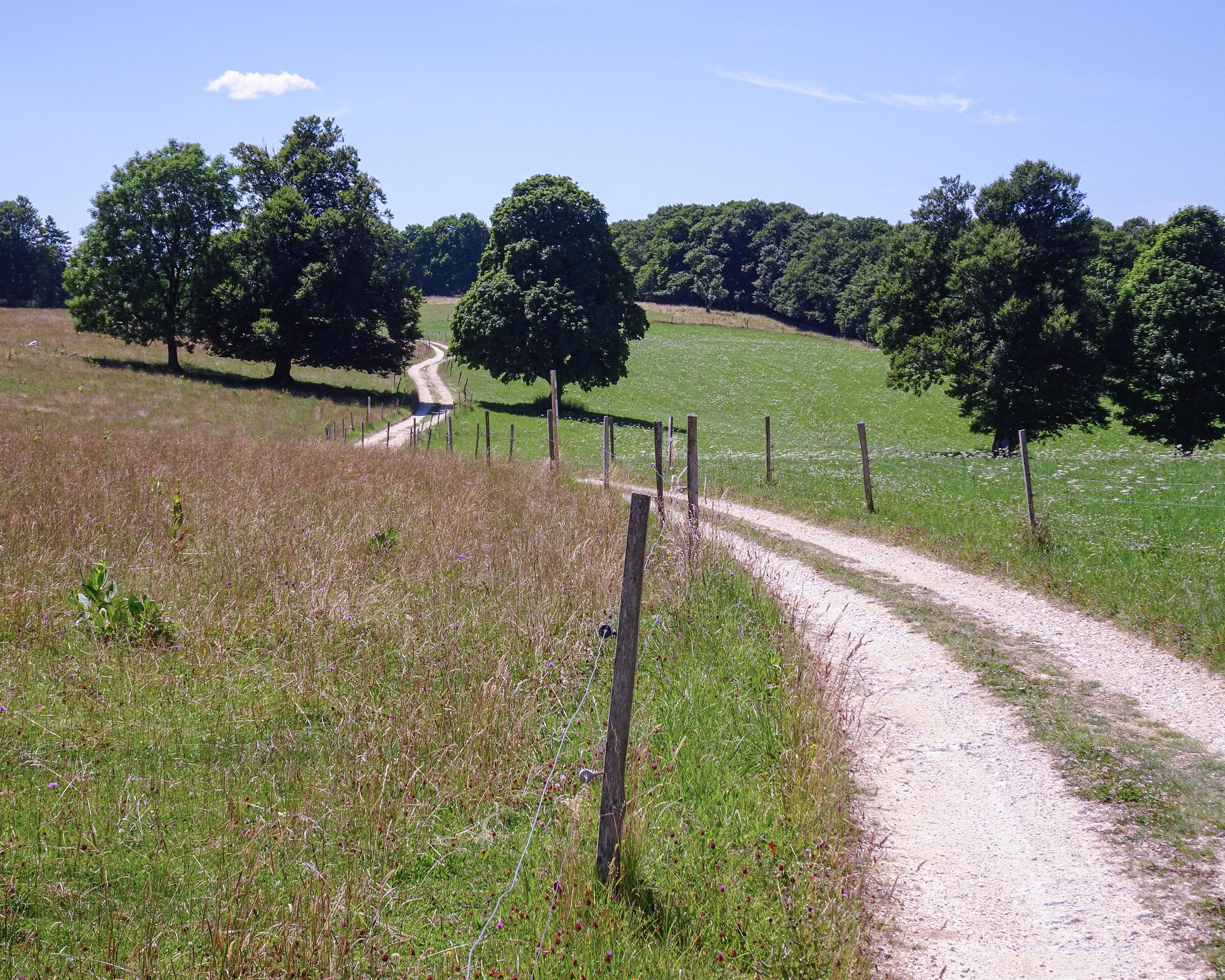
This hike starts at Untergrenchenberg and explores the Montoz ridge. The summit is a hilly plateau, surrounded by a broad forest belt. The views from the Montoz extend all the way to the Alps, if the weather is clear.