search.ch

Chemin du Jura

Regional route No. 31, St-Ursanne–Glovelier
  • Image 1

Description

Regional route
No. 31 (St-Ursanne–Glovelier)
Length
18 km
Ascent • Descent
↑ 640 m • ↓ 580 m
Lowest point • Highest point
432 m • 912 m
Hiking time
5 h
Grade
easy (hiking trail)
Fitness level
difficult
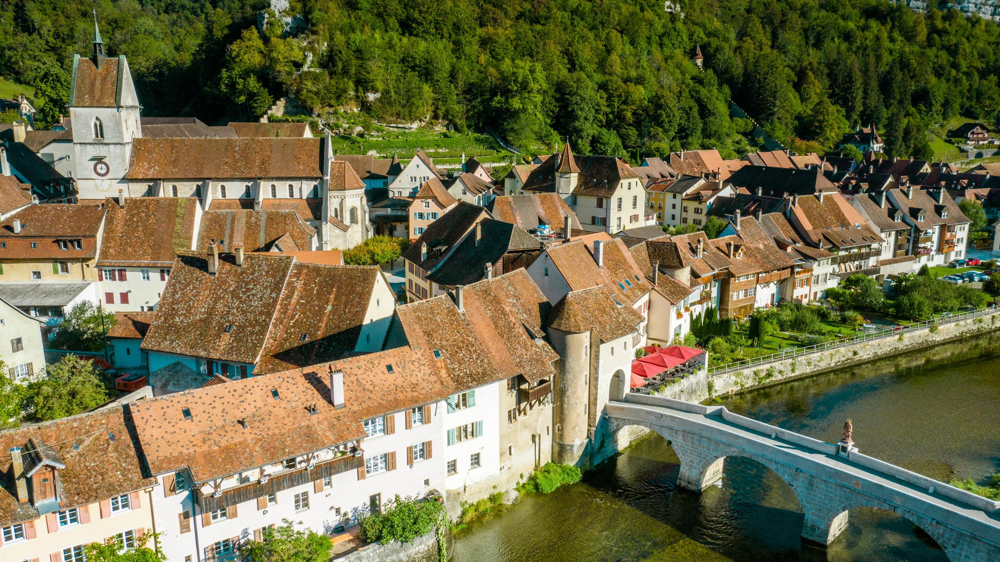
From St. Ursanne, the route follows the Doubs river to Tariche. It then meets the trail commemorating the 40th anniversary of the canton of Jura, and continues on to the intersection of the three Jura districts. You then continue hiking on the ridge. In view: the Delémont and Doubs valleys. The descent leads to the destination for this stage at Glovelier.

Height profile

Weather:

Comments about this activity or place?

Thank you for your feedback!