DE
FR
IT
EN
Directory
Weather
Map / Route
Timetable
Leisure
TV guide
Cinema
Web search
Apps
More
Personal Data »
Login:
Register
Password forgotten
or
Log in with local.ch
Log in with Apple
Log in with Facebook
Log in with Google
Log in with LinkedIn
Please note that our new
privacy statement
as well as the revised
terms and conditions of use
apply.
Leisure
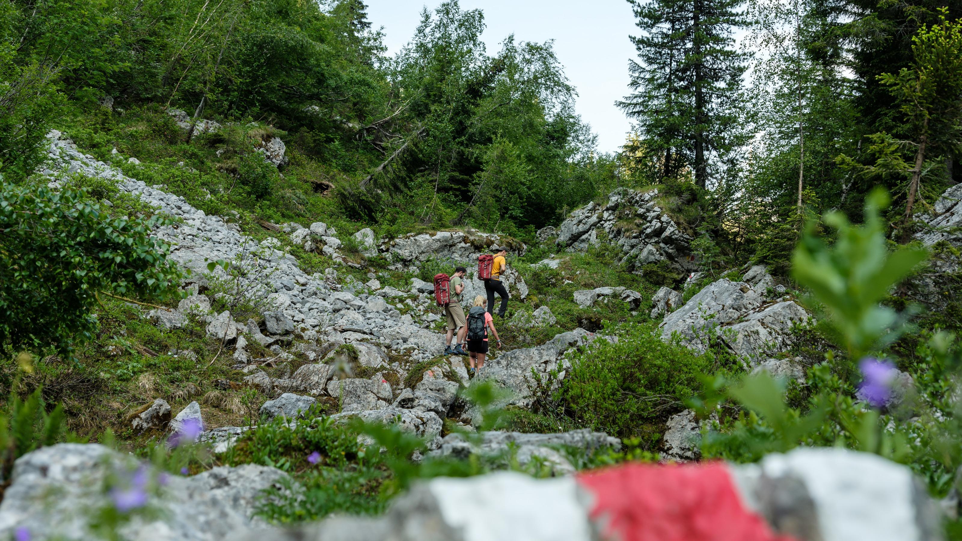
Hike in Gruyère Pays-d'Enhaut Regional Nature Park
Freiburger Voralpenweg
Regional route No. 78, Soldatenhaus–Château-d'Oex
Description
Regional route
No. 78 (Soldatenhaus–Château-d'Oex)
Length
24 km
Ascent • Descent
↑ 1050 m • ↓ 1850 m
Lowest point • Highest point
963 m • 1912 m
Hiking time
7 h 50 min
Grade
medium (mountain hiking trail)
Fitness level
difficult
From Canton Fribourg into Canton Vaud, from Châlet du Régiment to Château-d’Oex. In the «balloonists’ Mecca» everything focuses on the hot-air balloon. «Espace Ballon» with activities for all ages as well as permanent and temporary exhibitions.
Comments on this information?
We welcome your feedback!
Presented by
Route
Height profile
Weather:
More...
Comments about this activity or place?
Incorrect information
Missing information
Another topic
Thank you for your feedback!
Close