DE
FR
IT
EN
Directory
Weather
Map / Route
Timetable
Leisure
TV guide
Cinema
Web search
Apps
More
Personal Data »
Login:
Register
Password forgotten
or
Log in with local.ch
Log in with Apple
Log in with Facebook
Log in with Google
Log in with LinkedIn
Please note that our new
privacy statement
as well as the revised
terms and conditions of use
apply.
Leisure
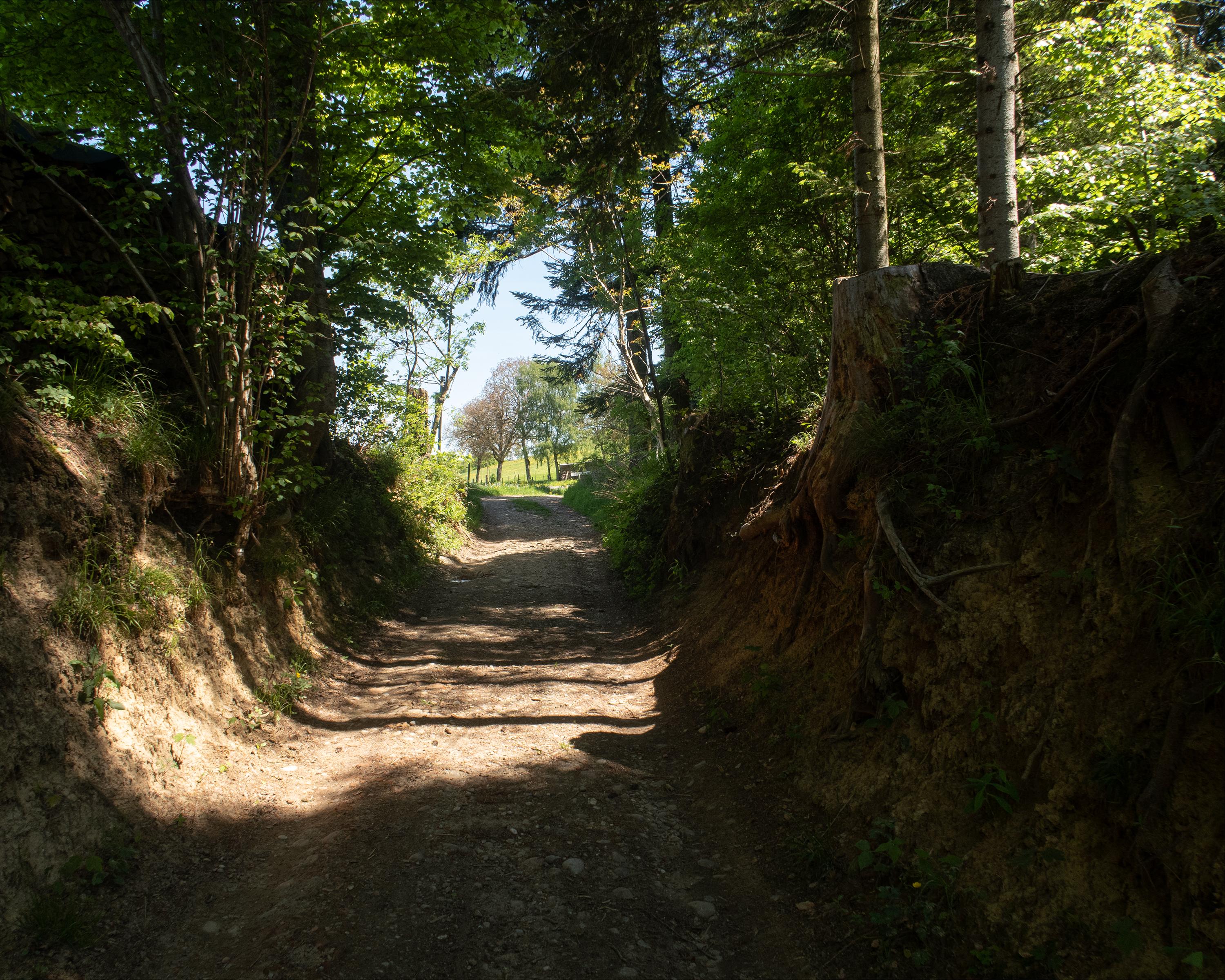
Hike in Lucerne – Lake Lucerne Region
ViaJacobi
National route No. 4, Willisau–Huttwil
Description
National route
No. 4 (Willisau–Huttwil)
Length
16 km
Ascent • Descent
↑ 500 m • ↓ 420 m
Lowest point • Highest point
554 m • 740 m
Hiking time
4 h 20 min
Grade
easy (hiking trail)
Fitness level
medium
Between the Lucerne hinterland and the Bernese Oberemmental, the trail leads away from traffic over hills and through wooded areas to Ufhusen and Huttwil. Picturesque farms and panoramic views of the Alps and, later, the Jura accompany the hikers.
Comments on this information?
We welcome your feedback!
Presented by
Route
Height profile
Weather:
More...
Comments about this activity or place?
Incorrect information
Missing information
Another topic
Thank you for your feedback!
Close