search.ch

L'Areuse–Emme–Sihl

Regional route No. 94, Fleurier–Neuchâtel
  • Image 1

Description

Regional route
No. 94 (Fleurier–Neuchâtel)
Length
38 km
Ascent • Descent
↑ 260 m • ↓ 560 m
Lowest point • Highest point
431 m • 789 m
Fitness level
easy (opposite direction: medium)
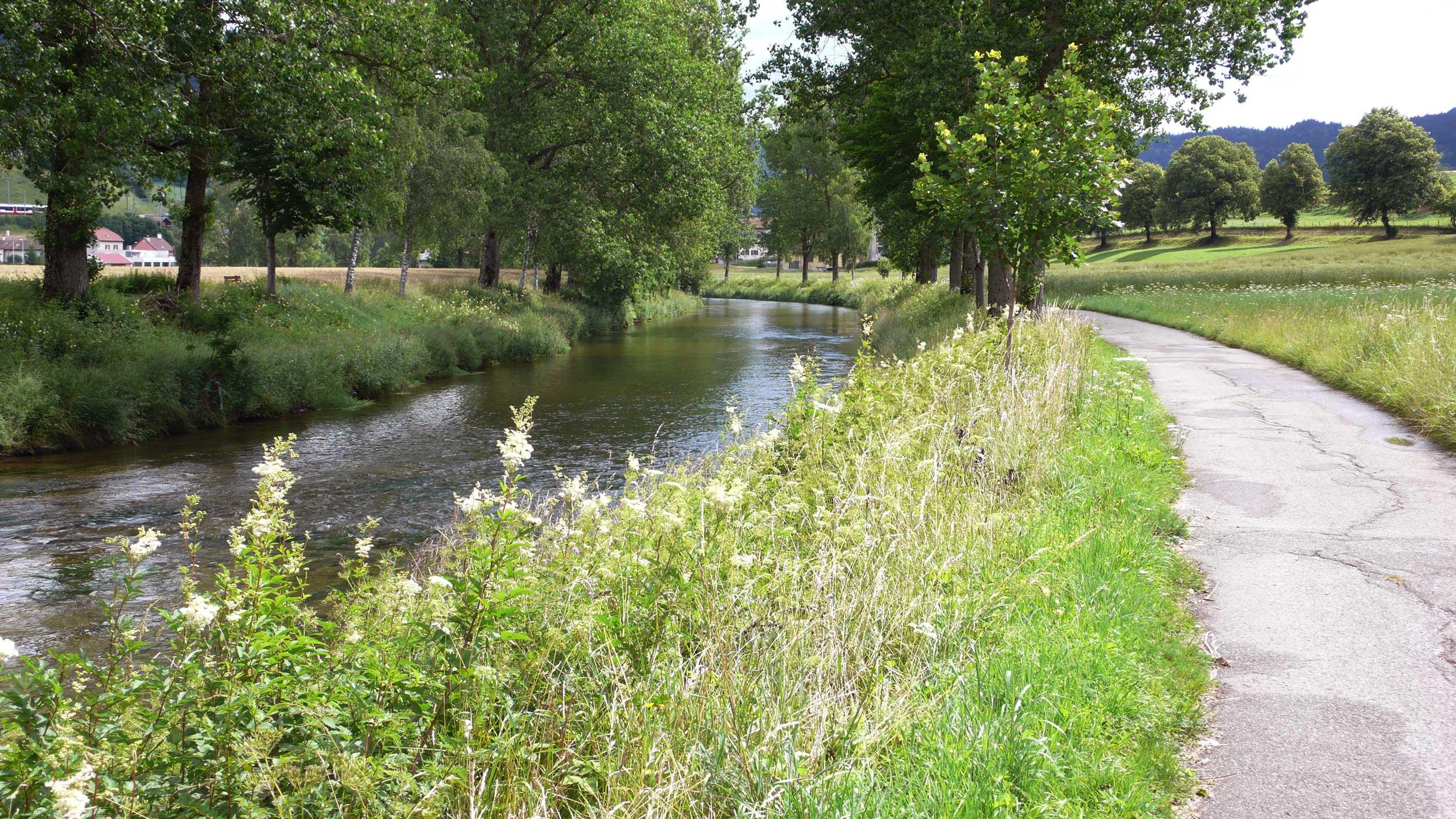
This route runs along three different rivers. This stage starts in Fleurier and leads through the Val de Travers, across fields, forests, vineyards and small villages to the destination for this stage at Neuchâtel. The most spectacular part passes through a gorge along the Areuse.

Height profile

Weather:

Comments about this activity or place?

Thank you for your feedback!