search.ch

Chemin du Jura

Regional route No. 31, Porrentruy–St-Ursanne
  • Image 1

Description

Regional route
No. 31 (Porrentruy–St-Ursanne)
Length
17 km
Ascent • Descent
↑ 600 m • ↓ 600 m
Lowest point • Highest point
422 m • 883 m
Hiking time
4 h 45 min
Grade
easy (hiking trail)
Fitness level
medium
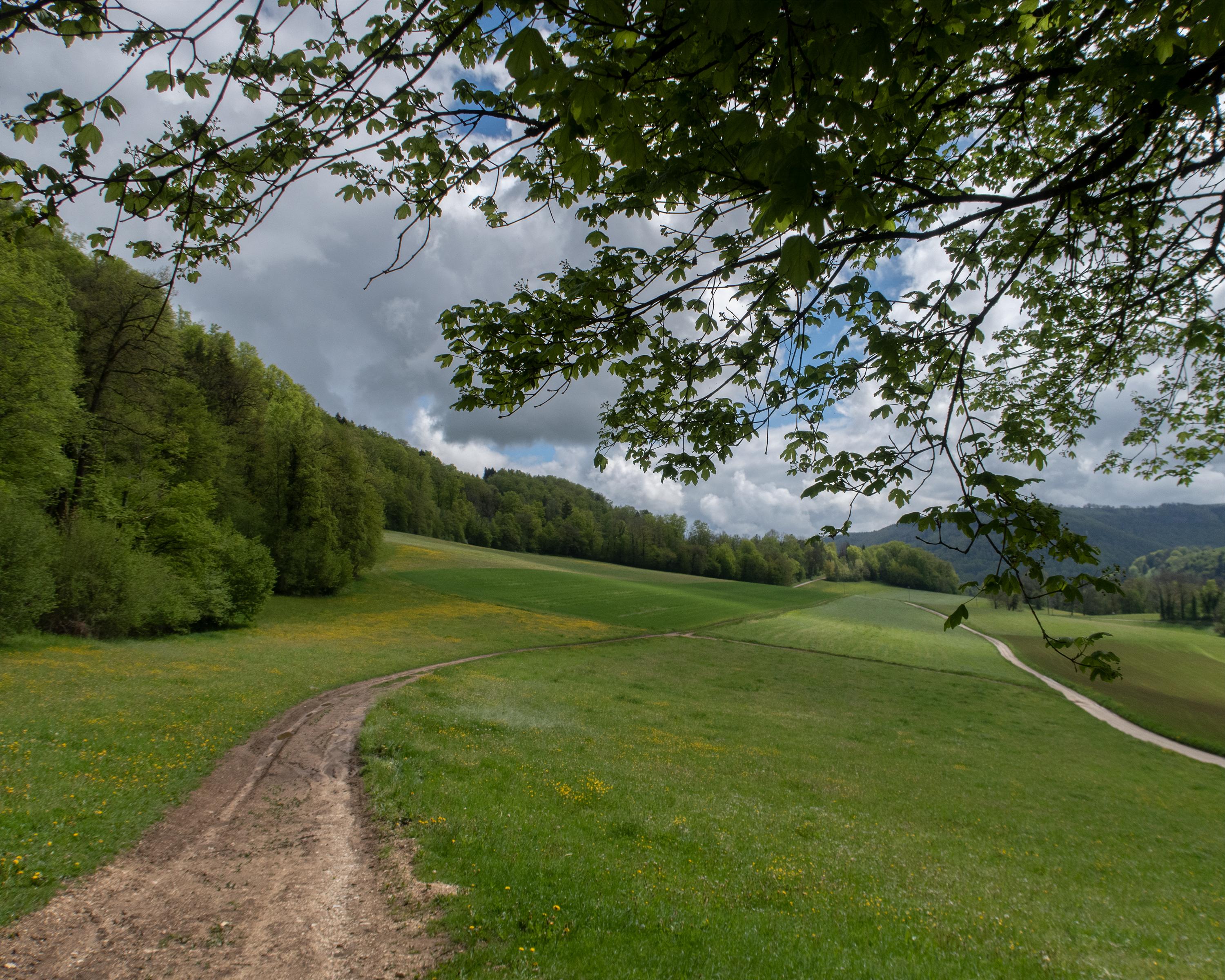
The route leads through the cultivated landscapes of the Ajoie region and across a ridge into the Clos du Doubs. Bands of rock and erosion gullies crisscross the forests on steep slopes. The stage ends in the narrow medieval streets of St-Ursanne on the banks of the Doubs.

Height profile

Weather:

Comments about this activity or place?

Thank you for your feedback!