DE
FR
IT
EN
Directory
Weather
Map / Route
Timetable
Leisure
TV guide
Cinema
Web search
Apps
More
Personal Data »
Login:
Register
Password forgotten
or
Log in with local.ch
Log in with Apple
Log in with Facebook
Log in with Google
Log in with LinkedIn
Please note that our new
privacy statement
as well as the revised
terms and conditions of use
apply.
Leisure
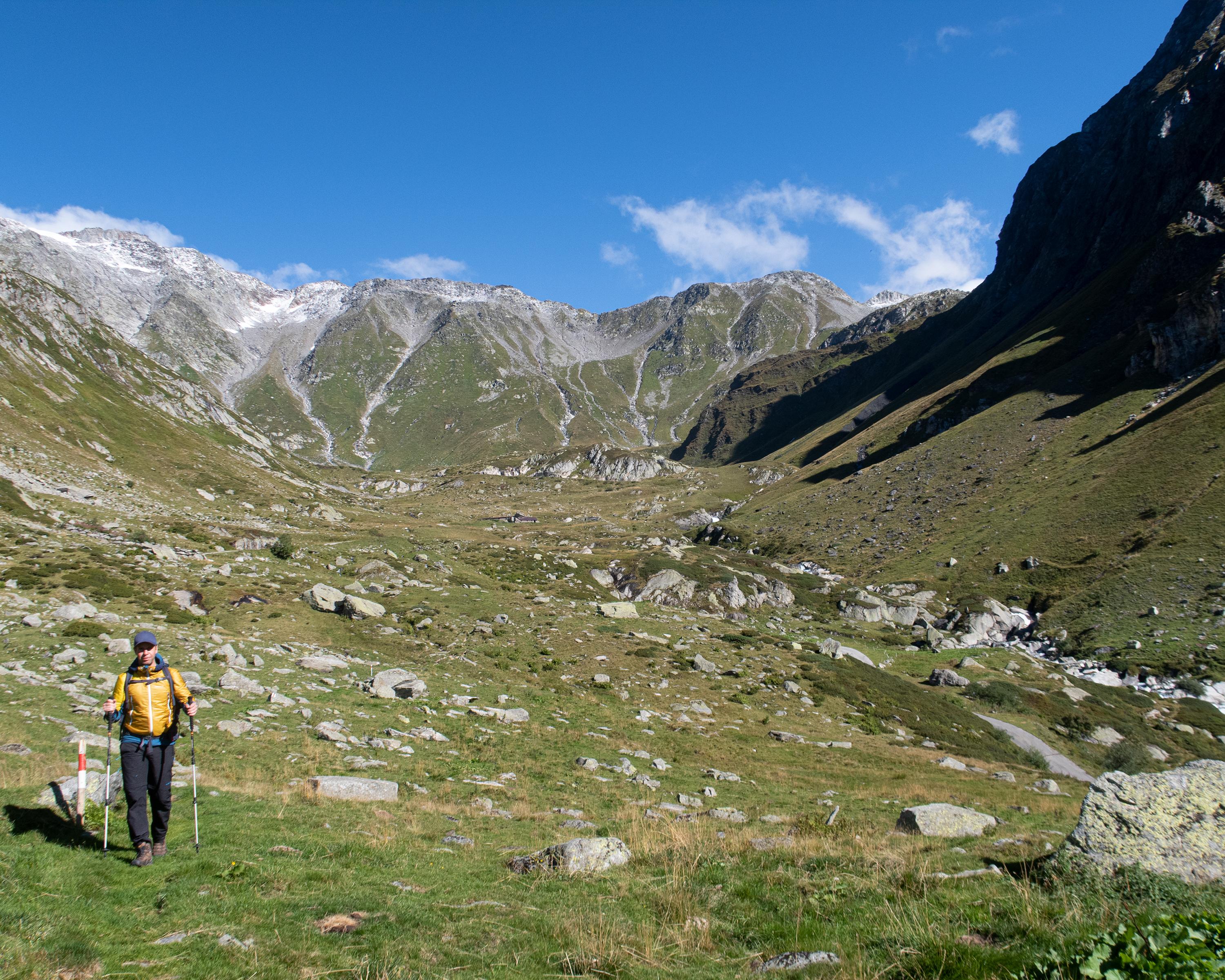
Hike in Blenio Valley (Valle di Blenio)
Alpine Passes Trail
National route No. 6, Cap. Scaletta–Cap. Bovarina
Description
National route
No. 6 (Cap. Scaletta–Cap. Bovarina)
Length
15 km
Ascent • Descent
↑ 760 m • ↓ 1100 m
Lowest point • Highest point
1204 m • 2246 m
Hiking time
5 h
Grade
medium (mountain hiking trail)
Fitness level
difficult
1400-metre descent through all vegetation levels - from the rock world of Greina to meadows and alps and the forest belt. Another ascent into the hidden Val di Campo and through larch forests to Capanna Bovarina.
Comments on this information?
We welcome your feedback!
Presented by
Route
Height profile
Weather:
More...
Comments about this activity or place?
Incorrect information
Missing information
Another topic
Thank you for your feedback!
Close