search.ch

ViaGottardo

National route No. 7, Airolo–Rodi
  • Image 1

Description

National route
No. 7 (Airolo–Rodi)
Length
14 km
Ascent • Descent
↑ 380 m • ↓ 560 m
Lowest point • Highest point
945 m • 1185 m
Hiking time
3 h 45 min
Grade
easy (hiking trail)
Fitness level
medium
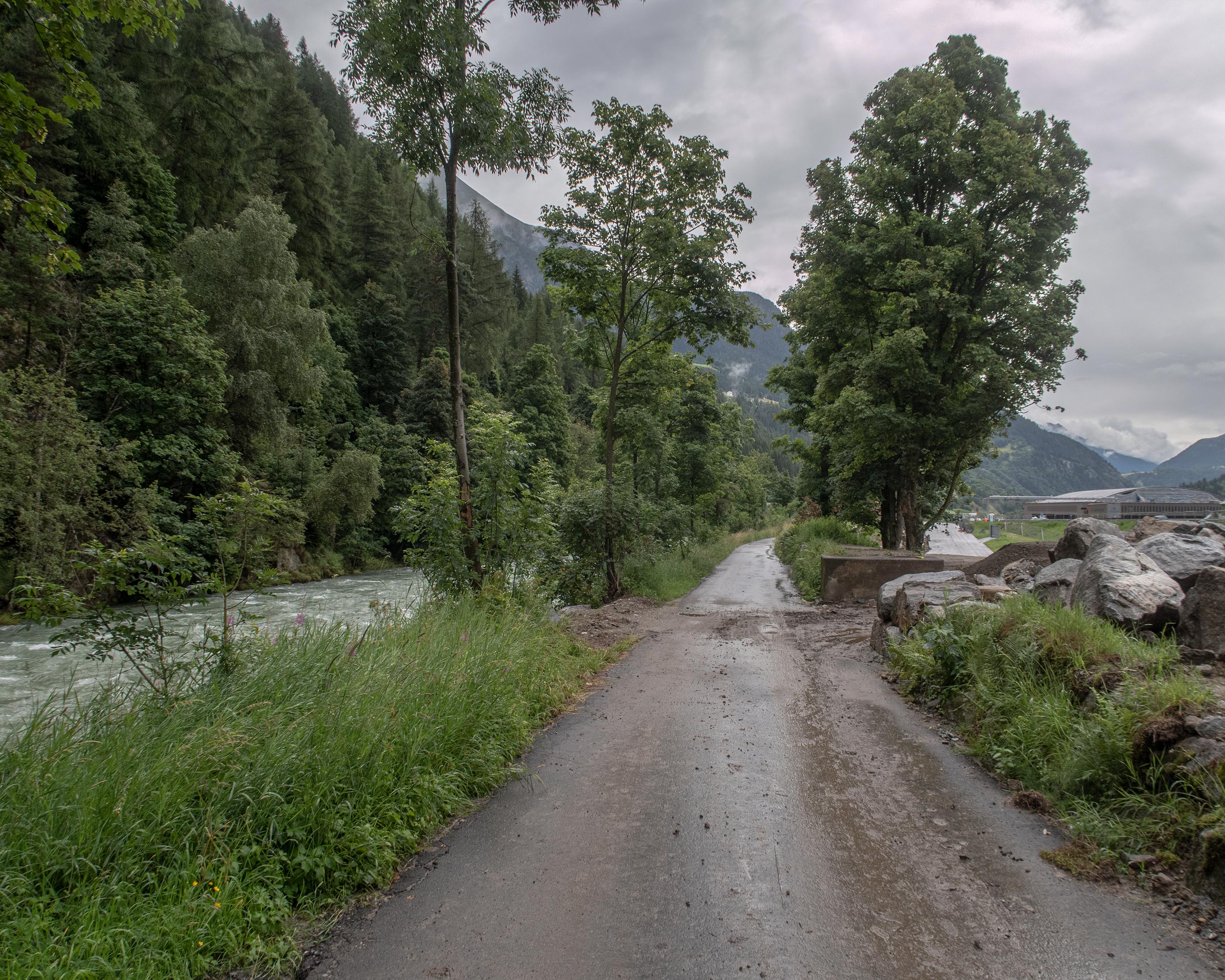
After the rock outcrop at Stalvedro the trail winds its way down to the floor of the Leventina valley. Alongside the Ticino River and changing from one bank to the other, you reach Rodi and the Dazio Grande customs house, one of the impressive symbols of the ViaGottardo.

Height profile

Weather:

Comments about this activity or place?

Thank you for your feedback!