DE
FR
IT
EN
Directory
Weather
Map / Route
Timetable
Leisure
TV guide
Cinema
Web search
Apps
More
Personal Data »
Login:
Register
Password forgotten
or
Log in with local.ch
Log in with Apple
Log in with Facebook
Log in with Google
Log in with LinkedIn
Please note that our new
privacy statement
as well as the revised
terms and conditions of use
apply.
Leisure
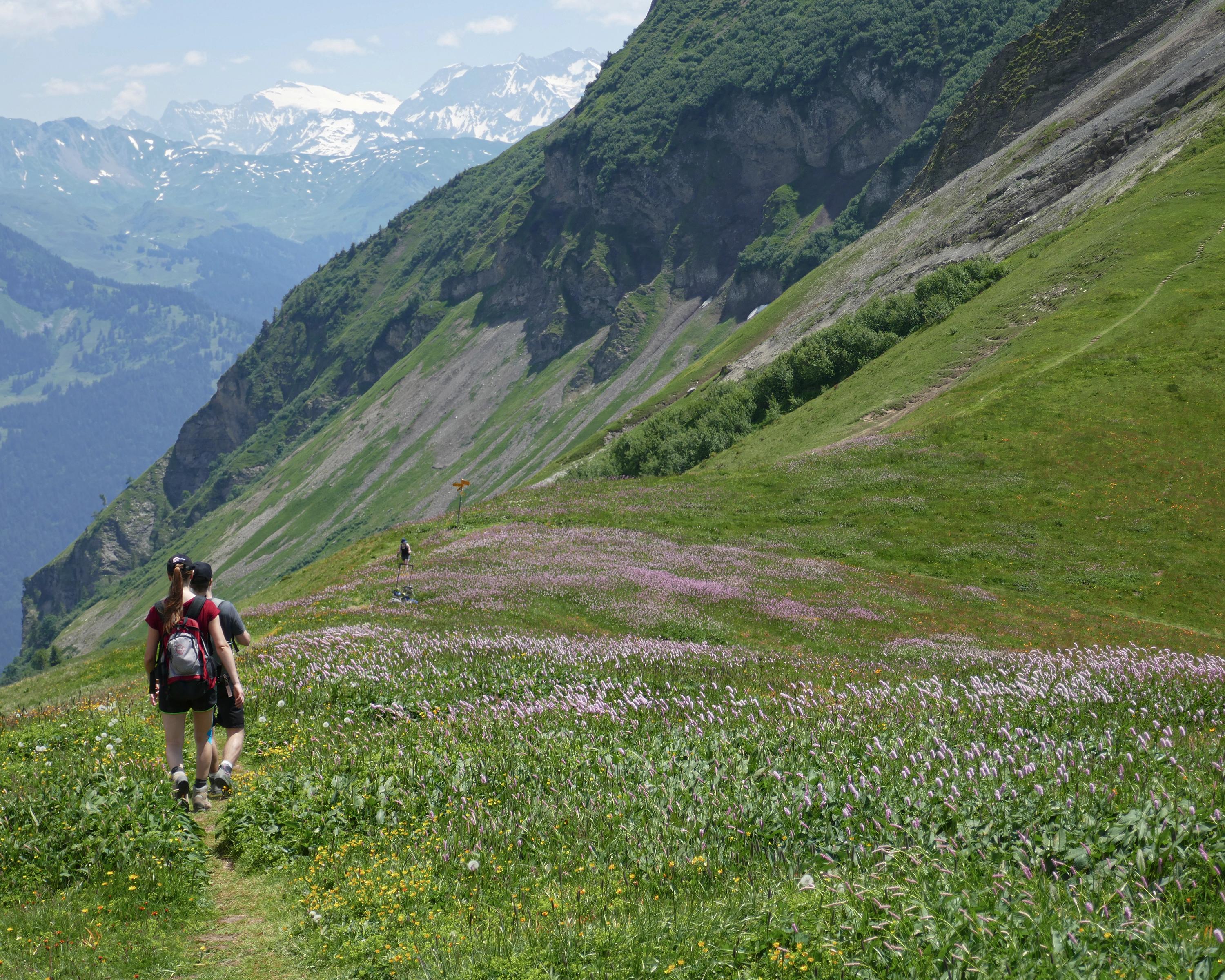
Hike in Haslital
Obwaldner Höhenweg
Regional route No. 57, Schönbüel (OW)–Brünigpass
Description
Regional route
No. 57 (Schönbüel (OW)–Brünigpass)
Length
8 km
Ascent • Descent
↑ 100 m • ↓ 1100 m
Lowest point • Highest point
1002 m • 2039 m
Hiking time
2 h 30 min
Grade
medium (mountain hiking trail)
Fitness level
difficult
The popular hike from Schönbüel-Brünigpass stimulates all the senses and is not short of sensational views. Spectacular ring-side seat: the Gibel, with views down to Brienzersee and Thunersee. Ridge hike to Wilerhorn, rewarding summit ascent.
Comments on this information?
We welcome your feedback!
Presented by
Route
Height profile
Weather:
More...
Comments about this activity or place?
Incorrect information
Missing information
Another topic
Thank you for your feedback!
Close