search.ch

Arc jurassien

Regional route No. 54, Ste-Croix–Liestal
  • Image 1

Description

Regional route
No. 54 (Ste-Croix–Liestal)
Length
185 km
Ascent • Descent
↑ 2800 m • ↓ 3600 m
Lowest point • Highest point
314 m • 1276 m
Fitness level
medium
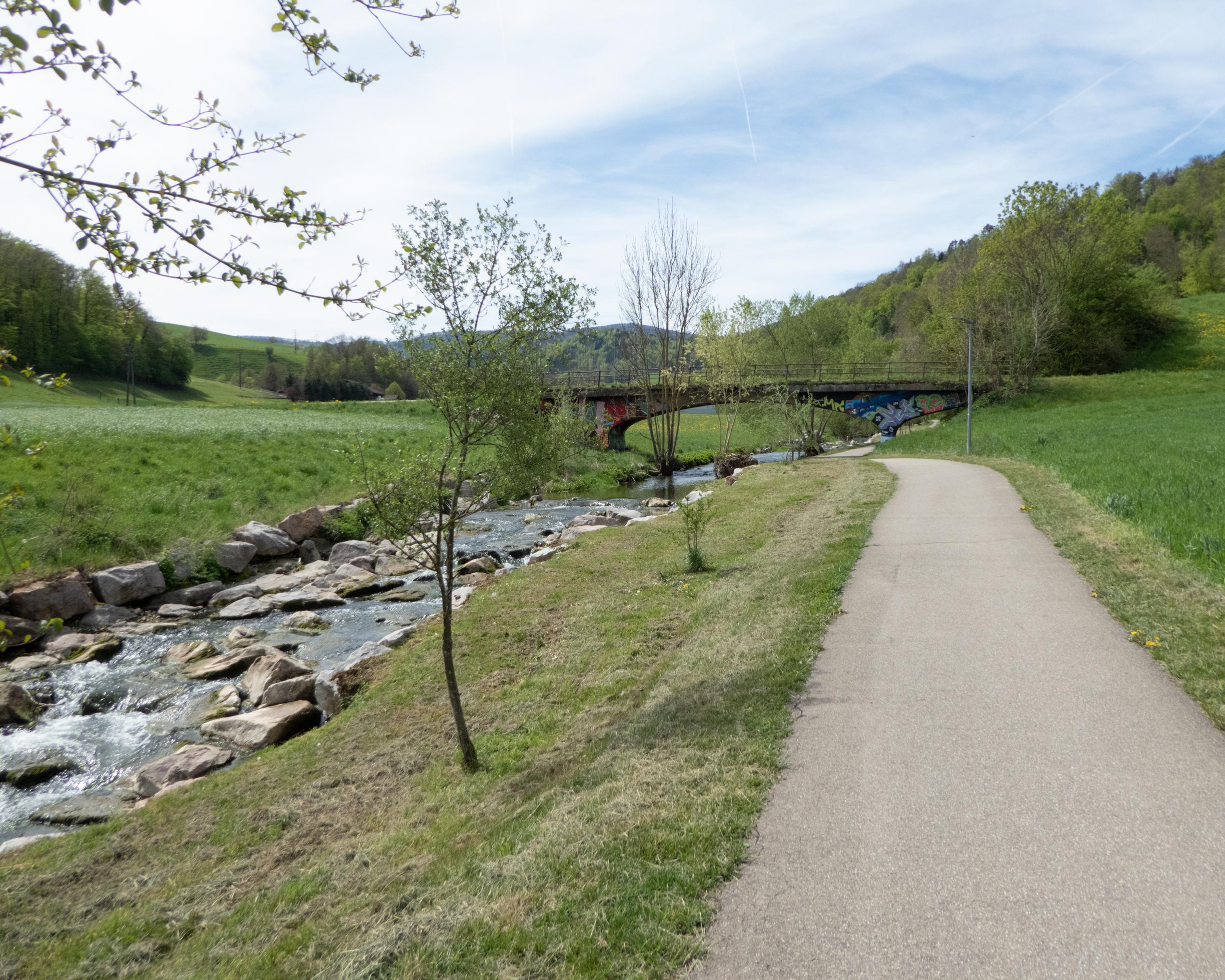
A trip through a rugged, varied landscape with remote high plateaux, wide meadows with horses, quiet valleys and rugged gorges, music boxes, watch towns and Roman roads, sturdy farmhouses and sycamore trees, rough pastureland and limestone rockfalls.

Height profile

Weather:

Comments about this activity or place?

Thank you for your feedback!