search.ch

ViaGottardo

National route No. 7, Tesserete–Lugano (Comano)
  • Image 1

Description

National route
No. 7 (Tesserete–Lugano (Comano))
Length
12 km
Ascent • Descent
↑ 300 m • ↓ 520 m
Lowest point • Highest point
271 m • 688 m
Hiking time
3 h 10 min
Grade
easy (hiking trail)
Fitness level
medium
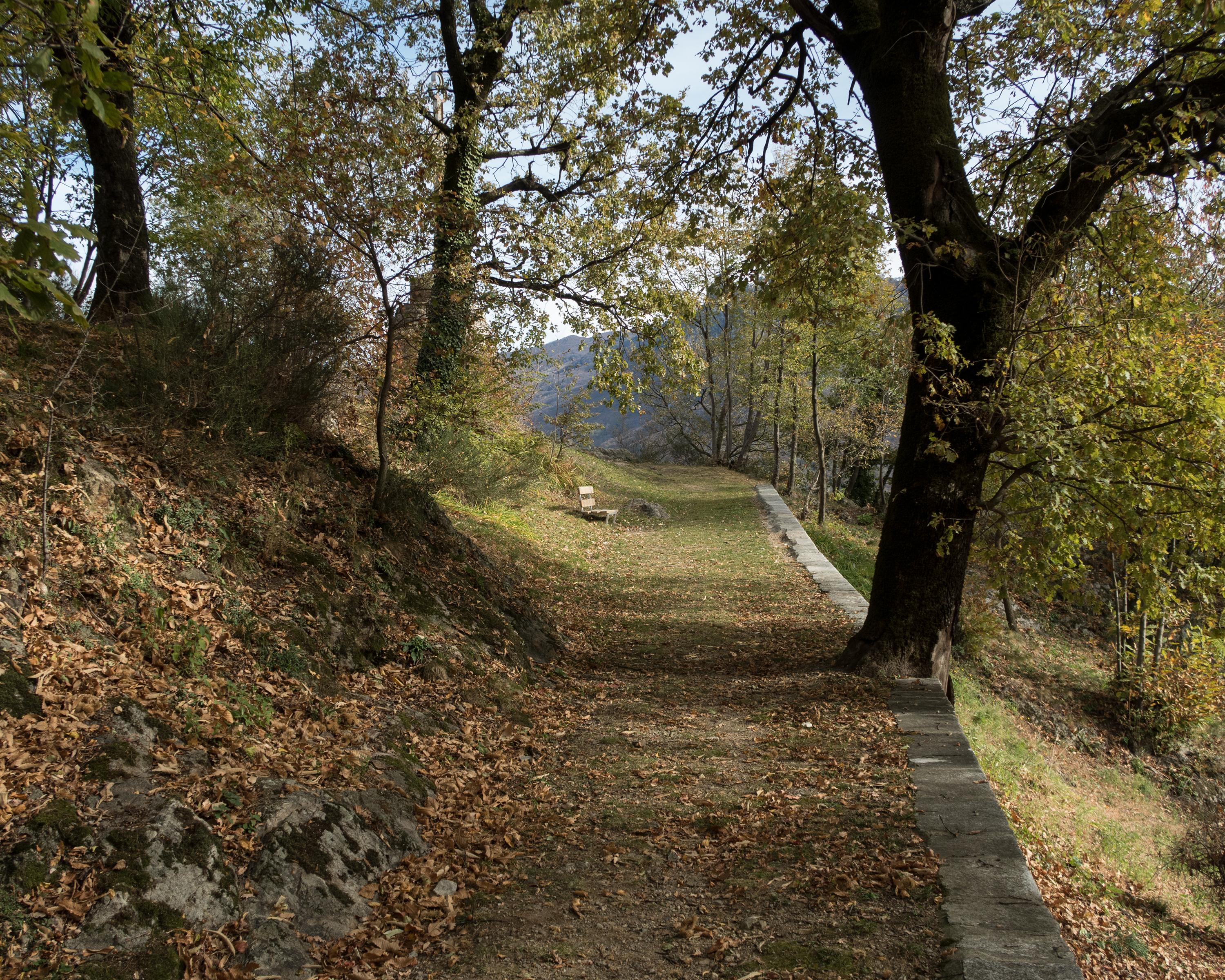
Over old, stony trails in the forest south of Tesserete, you reach the forest church of San Bernardo. Magnificent views of the lake and the surrounding mountain landscape open up. Past orange trees and vines, the route continues between old walls and modern buildings to the lakeshore in Lugano.

Height profile

Weather:

Comments about this activity or place?

Thank you for your feedback!