search.ch

Alte Averserstrasse

Local route No. 757, Andeer, Roflaschlucht–Juf
  • Image 1

Description

Local route
No. 757 (Andeer, Roflaschlucht–Juf)
Length
29 km
Ascent • Descent
↑ 1850 m • ↓ 840 m
Lowest point • Highest point
1104 m • 2136 m
Grade
medium (mountain hiking trail)
Fitness level
difficult
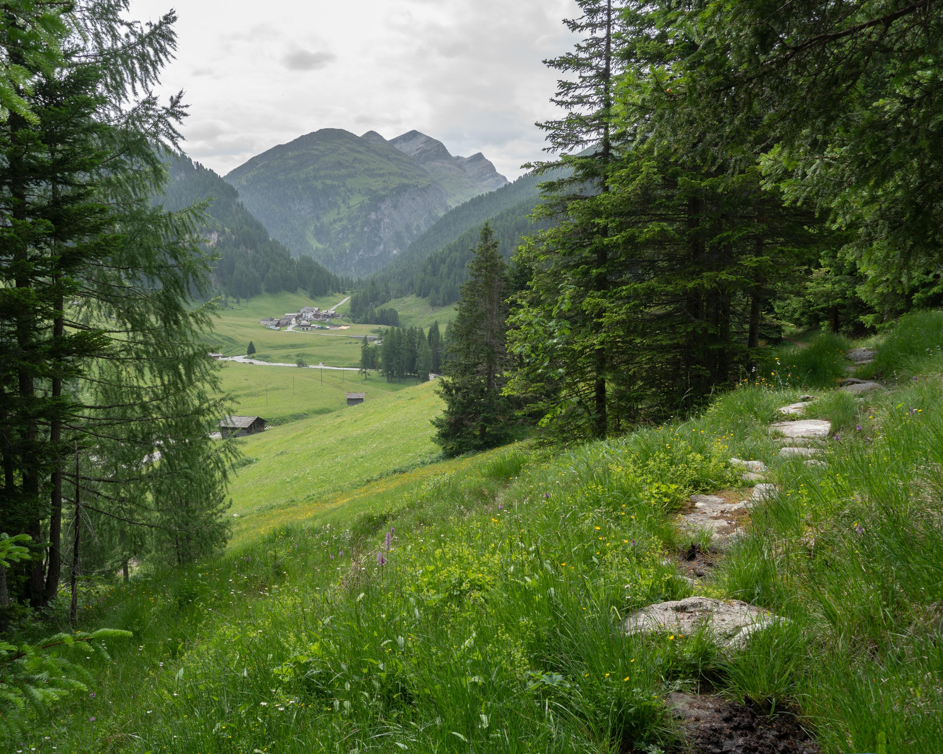
The old Avers road runs from the Roffla Gorge into the high valley of the Avers to Juf, the highest settlement in Europe to be occupied all year round. The historical transportation route was originally built in 1895 and, over the past few years, it has been re-instated as a hiking trail.

Booking Information

Height profile

Weather:

Viamala Tourismus

Comments about this activity or place?

Thank you for your feedback!