search.ch

Chemin des Trois-Lacs

Regional route No. 71, Yverdon-les-Bains–Estavayer-le-Lac
  • Image 1

Description

Regional route
No. 71 (Yverdon-les-Bains–Estavayer-le-Lac)
Length
22 km
Ascent • Descent
↑ 240 m • ↓ 240 m
Lowest point • Highest point
430 m • 483 m
Hiking time
5 h 35 min
Grade
easy (hiking trail)
Fitness level
difficult
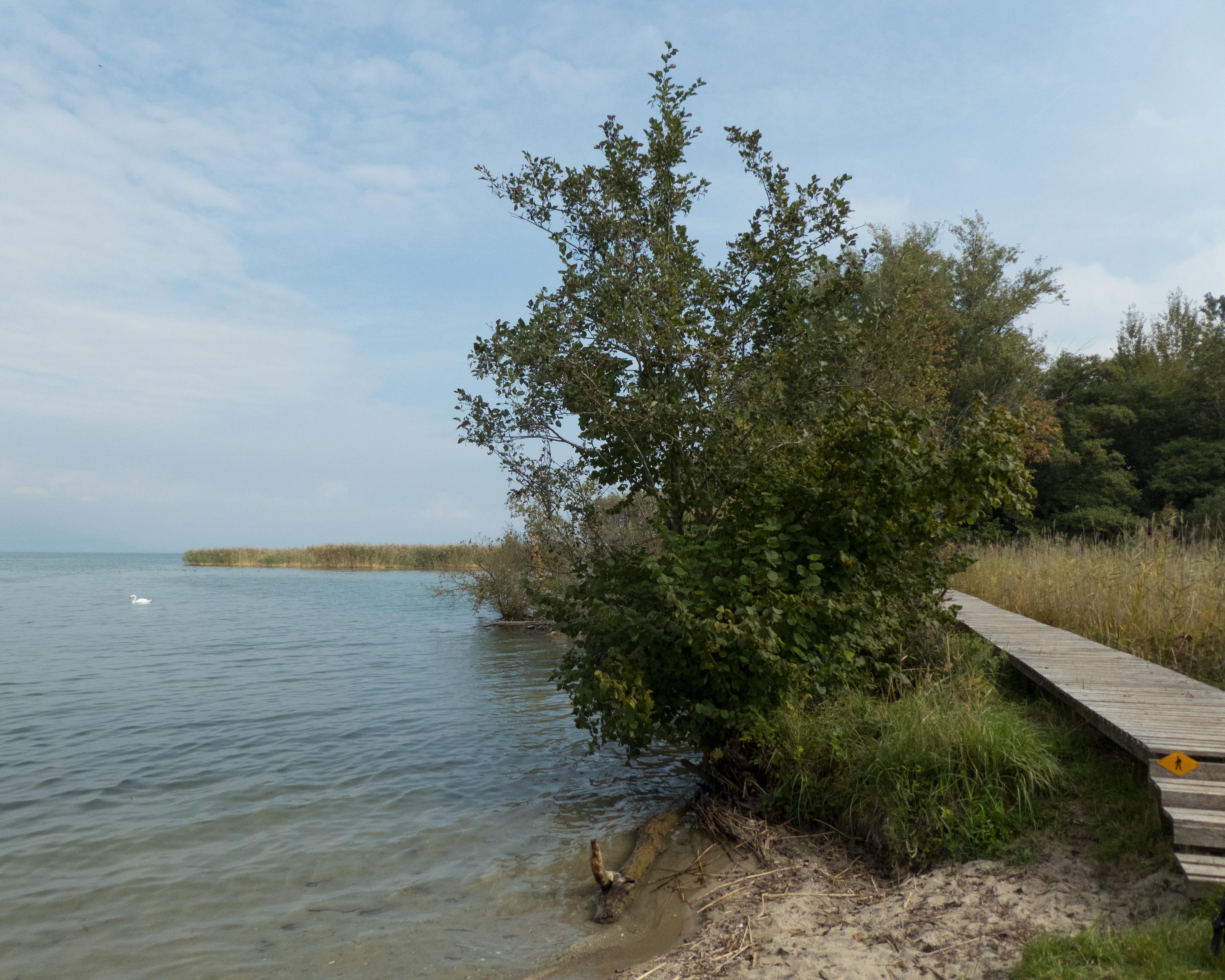
You will be surprised by the menhirs in Yverdon-Clendy, then immediately afterwards, you encounter the “Champ-Pittet” Pro Natura centre. You can immerse yourself in the reed landscape on the wooden walkways of the Grande Cariçaie, then climb up high to the observation tower to spot a variety of aquatic animals.

Height profile

Weather:

Comments about this activity or place?

Thank you for your feedback!